Sewon night lights from space
Night Light of Sewon (Yogyakarta) from space (Indonesia) Src. Average luminocity for 10x10km area is 60.2004% and for 50x50km: 18.5447%.
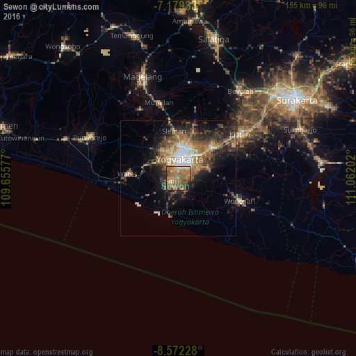
Analysis of Sewon night lights 2016
Square area 10x10 km:
 1.03%
1.03%90-99
6.2%80-89
5.17%70-79
12.6%60-69
26.86%50-59
27.89%40-49
11.57%30-39
2.89%20-29
2.48%10-19
3.31%0-9
0%Square area 50x50 km:
1.89%90-99
1.96%80-89
1.52%70-79
2.79%60-69
4.17%50-59
4.53%40-49
3.79%30-39
3.63%20-29
5.68%10-19
7.77%0-9
62.28%Clear (daylight) street map image can be seen on geolist.org.
Map coordinates:
7° 10' 45.6" South, 109° 39' 20.8" East
7° 52' 35" South, 110° 21' 32" East
8° 34' 20.2" South, 111° 3' 43.3" East
Some cities around Sewon sort by population:
• Yogyakarta
8.4 km =5.2 mi,  4°
4°
• Kasihan
6.4 km =4 mi,  329°
329°
• Gamping Lor
9.7 km =6 mi,  338°
338°
• Bantul
3.5 km =2.2 mi,  248°
248°
• Pandak
8.3 km =5.2 mi,  240°
240°
• Bambanglipuro
11.7 km =7.3 mi,  225°
225°
• Srandakan
13.8 km =8.6 mi, 239°
• Pundong
8.5 km =5.3 mi,  187°
187°
1627357 (p: 73,585)
Sources (retrieved 2019-11-25):
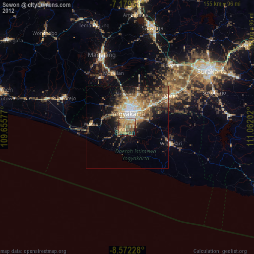
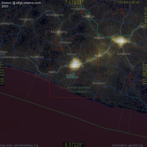
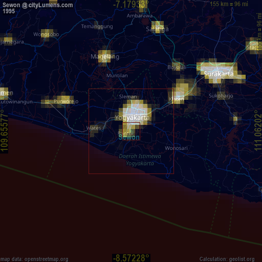
» NASA, Earths city lights 1995
» NASA city lights 2003
» Earth at Night: Flat Maps 2012, 2016