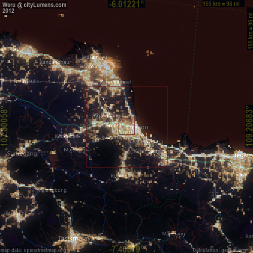
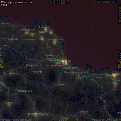
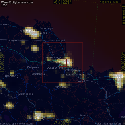
Weru night lights from space
Night Light of Weru (West Java) from space (Indonesia) Src. Average luminocity for 10x10km area is 59.0779% and for 50x50km: 14.6153%.
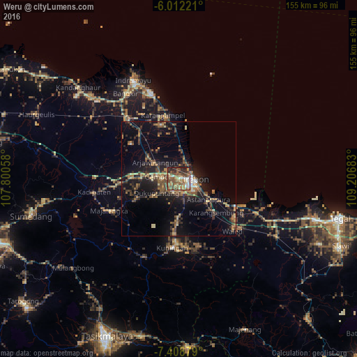
Analysis of Weru night lights 2016
Square area 10x10 km:
 5.19%
5.19%90-99
8.66%80-89
7.58%70-79
10.39%60-69
10.17%50-59
24.24%40-49
15.37%30-39
3.46%20-29
13.64%10-19
1.3%0-9
0%Square area 50x50 km:
0.57%90-99
1.03%80-89
1.63%70-79
1.99%60-69
2.28%50-59
3.28%40-49
3.81%30-39
2.45%20-29
4.86%10-19
12.01%0-9
66.09%Clear (daylight) street map image can be seen on geolist.org.
Map coordinates:
6° 0' 44" South, 107° 48' 2.1" East
6° 42' 39.6" South, 108° 30' 13.3" East
7° 24' 31.6" South, 109° 12' 24.6" East
Some cities around Weru sort by population:
• Cirebon
5.9 km =3.7 mi,  84°
84°
• Plumbon
3.5 km =2.2 mi,  281°
281°
• Astanajapura
17.3 km =10.7 mi,  125°
125°
• Arjawinangun
12.6 km =7.8 mi,  305°
305°
• Sumber
5.9 km =3.7 mi,  202°
202°
• Palimanan
8.8 km =5.5 mi,  272°
272°
• Klangenan
7 km =4.3 mi, 271°
• Karangsembung
21.6 km =13.4 mi,  135°
135°
1621613 (p: 139,004)
Sources (retrieved 2019-11-25):
» NASA, Earths city lights 1995
» NASA city lights 2003
» Earth at Night: Flat Maps 2012, 2016