Karangampel night lights from space
Night Light of Karangampel (West Java) from space (Indonesia) Src. Average luminocity for 10x10km area is 25.7922% and for 50x50km: 9.8203%.
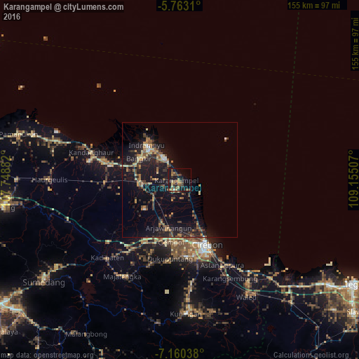
Analysis of Karangampel night lights 2016
Square area 10x10 km:
 0.87%
0.87%90-99
0%80-89
3.46%70-79
4.33%60-69
6.06%50-59
7.14%40-49
5.41%30-39
4.76%20-29
6.49%10-19
27.06%0-9
34.42%Square area 50x50 km:
0.26%90-99
0.41%80-89
1.19%70-79
1.51%60-69
1.38%50-59
1.9%40-49
1.6%30-39
1.95%20-29
3.85%10-19
12.11%0-9
73.84%Clear (daylight) street map image can be seen on geolist.org.
Map coordinates:
5° 45' 47.2" South, 107° 44' 55.8" East
6° 27' 44" South, 108° 27' 7" East
7° 9' 37.4" South, 109° 9' 18.3" East
Some cities around Karangampel sort by population:
• Cirebon
29.5 km =18.3 mi,  156°
156°
• Plumbon
27.1 km =16.8 mi,  175°
175°
• Weru
28.2 km =17.5 mi,  168°
168°
• Indramayu
21 km =13 mi,  316°
316°
• Arjawinangun
20.9 km =13 mi,  192°
192°
• Palimanan
27.4 km =17 mi, 186°
• Klangenan
27.5 km =17.1 mi, 182°
• Jatibarang
15.2 km =9.4 mi,  264°
264°
1641342 (p: 31,234)
Sources (retrieved 2019-11-25):
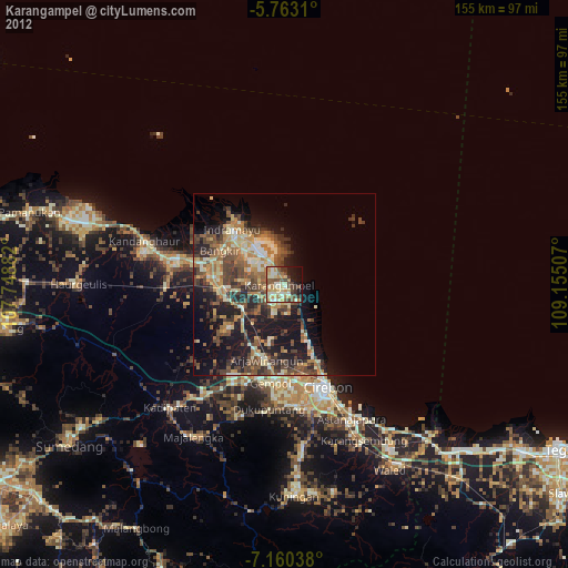
» Earth at Night: Flat Maps 2012, 2016