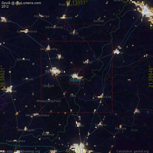
Gyula night lights from space
Night Light of Gyula (Bekes) from space (Hungary) Src. Average luminocity for 10x10km area is 11.8509% and for 50x50km: 2.2459%.
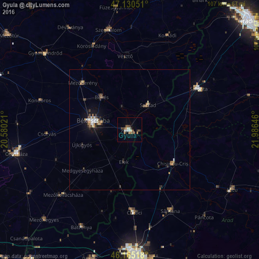
Analysis of Gyula night lights 2016
Square area 10x10 km:
 1.56%
1.56%90-99
1.28%80-89
1.14%70-79
1.14%60-69
1.56%50-59
2.98%40-49
2.27%30-39
1.7%20-29
0.57%10-19
0.57%0-9
85.23%Square area 50x50 km:
0.29%90-99
0.28%80-89
0.16%70-79
0.18%60-69
0.36%50-59
0.42%40-49
0.4%30-39
0.37%20-29
0.29%10-19
1.35%0-9
95.9%Clear (daylight) street map image can be seen on geolist.org.
Map coordinates:
47° 7' 49.8" North, 20° 34' 48.8" East
46° 39' 0" North, 21° 16' 60" East
46° 9' 54.6" North, 21° 59' 11.3" East
Some cities around Gyula sort by population:
• Békéscsaba
14.5 km =9 mi,  284°
284°
• Békés
17.3 km =10.7 mi,  318°
318°
• Mezőberény
26.6 km =16.5 mi,  314°
314°
• Sarkad
13.5 km =8.4 mi,  34°
34°
• Chişineu-Criş, RO
22.7 km =14.1 mi,  127°
127°
• Macea, RO
29.7 km =18.5 mi,  177°
177°
• Újkígyós
20.5 km =12.7 mi,  248°
248°
• Elek
13.2 km =8.2 mi,  191°
191°
720334 (p: 32,269)
Sources (retrieved 2019-11-25):
» Earth at Night: Flat Maps 2012, 2016