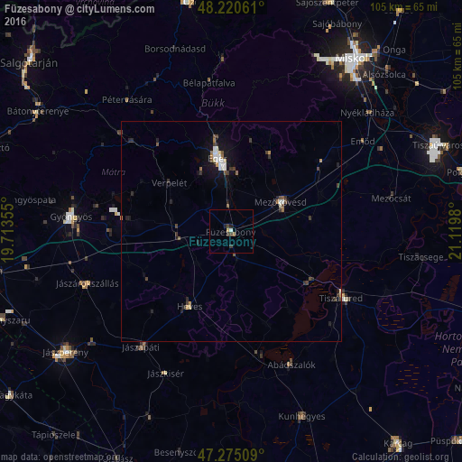
Füzesabony night lights from space
Night Light of Füzesabony (Heves) from space (Hungary) Src. Average luminocity for 10x10km area is 2.9182% and for 50x50km: 1.7022%.
Analysis of Füzesabony night lights 2016
Square area 10x10 km:
 0.3%
0.3%90-99
0.3%80-89
0%70-79
0.6%60-69
0.45%50-59
0.15%40-49
0.15%30-39
2.23%20-29
0.74%10-19
0.45%0-9
94.64%Square area 50x50 km:
0.23%90-99
0.22%80-89
0.13%70-79
0.13%60-69
0.18%50-59
0.21%40-49
0.3%30-39
0.44%20-29
0.48%10-19
1.1%0-9
96.58%Clear (daylight) street map image can be seen on geolist.org.
Map coordinates:
48° 13' 14.2" North, 19° 42' 48.8" East
47° 45' 0" North, 20° 25' 0" East
47° 16' 30.3" North, 21° 7' 11.3" East
Some cities around Füzesabony sort by population:
• Eger
17.3 km =10.7 mi,  349°
349°
• Mezőkövesd
14.5 km =9 mi,  59°
59°
• Tiszafüred
30.1 km =18.7 mi,  119°
119°
• Heves
19.4 km =12.1 mi,  210°
210°
• Jászapáti
32.7 km =20.3 mi,  217°
217°
• Jászárokszállás
34.8 km =21.6 mi,  249°
249°
• Jászkisér
36.6 km =22.7 mi,  204°
204°
• Emőd
36.1 km =22.4 mi, 55°
720687 (p: 8,182)
Sources (retrieved 2019-11-25):
» Earth at Night: Flat Maps 2012, 2016