Gourbeyre night lights from space
Night Light of Gourbeyre (Guadeloupe) from space (Guadeloupe) Src. Average luminocity for 10x10km area is 32.5764% and for 50x50km: 6.139%.
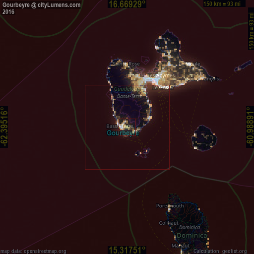
Analysis of Gourbeyre night lights 2016
Square area 10x10 km:
 5.17%
5.17%90-99
3.93%80-89
4.55%70-79
6.82%60-69
3.93%50-59
1.65%40-49
3.31%30-39
4.75%20-29
8.26%10-19
37.19%0-9
20.45%Square area 50x50 km:
0.5%90-99
0.48%80-89
0.78%70-79
1.21%60-69
0.72%50-59
0.39%40-49
0.96%30-39
1.5%20-29
2.04%10-19
4.84%0-9
86.6%Clear (daylight) street map image can be seen on geolist.org.
Map coordinates:
16° 40' 9.4" North, 62° 23' 42.6" West
15° 59' 40.3" North, 61° 41' 31.3" West
15° 19' 3" North, 60° 59' 20.1" West
Some cities around Gourbeyre sort by population:
• Petit-Bourg
24.4 km =15.2 mi,  26°
26°
• Capesterre-Belle-Eau
14.8 km =9.2 mi,  67°
67°
• Basse-Terre
4.3 km =2.7 mi,  273°
273°
• Saint-Claude
3.5 km =2.2 mi,  346°
346°
• Trois-Rivières
5.4 km =3.4 mi,  112°
112°
• Vieux-Habitants
10.7 km =6.6 mi,  311°
311°
• Bouillante
17.2 km =10.7 mi,  331°
331°
• Baillif
6.5 km =4 mi,  296°
296°
3579267 (p: 8,571)
Sources (retrieved 2019-11-25):
» Earth at Night: Flat Maps 2012, 2016