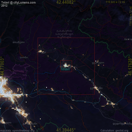
Telavi night lights from space
Night Light of Telavi (Kakheti) from space (Georgia) Src. Average luminocity for 10x10km area is 12.1556% and for 50x50km: 1.0375%.
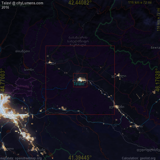
Analysis of Telavi night lights 2016
Square area 10x10 km:
 1.11%
1.11%90-99
3.17%80-89
0.79%70-79
1.27%60-69
1.11%50-59
2.06%40-49
1.75%30-39
1.59%20-29
1.75%10-19
0.32%0-9
85.08%Square area 50x50 km:
0.04%90-99
0.13%80-89
0.05%70-79
0.06%60-69
0.11%50-59
0.25%40-49
0.35%30-39
0.29%20-29
0.36%10-19
0.19%0-9
98.17%Clear (daylight) street map image can be seen on geolist.org.
Map coordinates:
42° 26' 27" North, 44° 46' 12.1" East
41° 55' 11.2" North, 45° 28' 23.3" East
41° 23' 40" North, 46° 10' 34.6" East
Some cities around Telavi sort by population:
• Tbilisi
58.6 km =36.4 mi,  244°
244°
• Rust’avi
57.3 km =35.6 mi,  224°
224°
• Sagarejo
23.8 km =14.8 mi,  209°
209°
• Gardabani
60 km =37.3 mi, 211°
• Gurjaani
33.5 km =20.8 mi,  125°
125°
• Qvareli
28.7 km =17.8 mi,  82°
82°
• Akhmet’a
25.2 km =15.7 mi,  299°
299°
• Tsnori
52.9 km =32.9 mi, 128°
611694 (p: 21,800)
Sources (retrieved 2019-11-25):
» Earth at Night: Flat Maps 2012, 2016