Gudauta night lights from space
Night Light of Gudauta (Abkhazia) from space (Georgia) Src. Average luminocity for 10x10km area is 25.6394% and for 50x50km: 2.6672%.
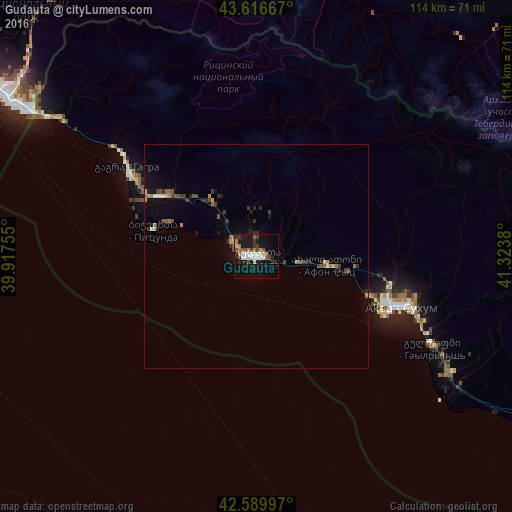
Analysis of Gudauta night lights 2016
Square area 10x10 km:
 5.15%
5.15%90-99
4.24%80-89
0.91%70-79
1.36%60-69
4.09%50-59
2.88%40-49
4.85%30-39
3.18%20-29
3.94%10-19
30%0-9
39.39%Square area 50x50 km:
0.28%90-99
0.29%80-89
0.11%70-79
0.24%60-69
0.42%50-59
0.44%40-49
0.53%30-39
0.45%20-29
0.58%10-19
1.83%0-9
94.84%Clear (daylight) street map image can be seen on geolist.org.
Map coordinates:
43° 37' 0" North, 39° 55' 3.2" East
43° 6' 19.7" North, 40° 37' 14.4" East
42° 35' 23.9" North, 41° 19' 25.7" East
Some cities around Gudauta sort by population:
• Sokhumi
31.9 km =19.8 mi,  110°
110°
• Adler, RU
66.9 km =41.6 mi,  302°
302°
• Stantsiya Novyy Afon
17.9 km =11.1 mi,  98°
98°
• Khosta, RU
76 km =47.2 mi,  306°
306°
• Kudepsta, RU
73.1 km =45.4 mi, 306°
• Gantiadi
53.5 km =33.2 mi, 304°
• Bich’vinta
23.6 km =14.7 mi,  284°
284°
• Gagra
34.2 km =21.3 mi, 304°
614409 (p: 7,700)
Sources (retrieved 2019-11-25):
» Earth at Night: Flat Maps 2012, 2016