Akhalk’alak’i night lights from space
Night Light of Akhalk’alak’i (Samtskhe-Javakheti) from space (Georgia) Src. Average luminocity for 10x10km area is 1.0663% and for 50x50km: 0.1512%.
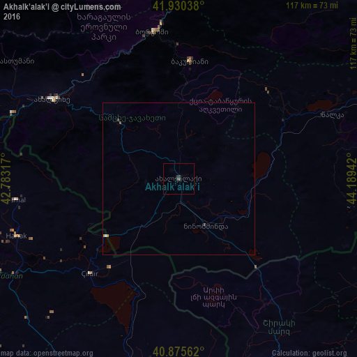
Analysis of Akhalk’alak’i night lights 2016
Square area 10x10 km:
 0%
0%90-99
0%80-89
0%70-79
0%60-69
0%50-59
0.68%40-49
0.17%30-39
1.19%20-29
0.68%10-19
0%0-9
97.28%Square area 50x50 km:
0.03%90-99
0%80-89
0%70-79
0.05%60-69
0%50-59
0.05%40-49
0.04%30-39
0.06%20-29
0.03%10-19
0%0-9
99.74%Clear (daylight) street map image can be seen on geolist.org.
Map coordinates:
41° 55' 49.4" North, 42° 46' 59.4" East
41° 24' 18.5" North, 43° 29' 10.6" East
40° 52' 32.2" North, 44° 11' 21.9" East
Some cities around Akhalk’alak’i sort by population:
• Khashuri
66.2 km =41.1 mi,  8°
8°
• Ardahan, TR
73.4 km =45.6 mi,  243°
243°
• Borjomi
50.1 km =31.1 mi,  353°
353°
• Surami
69.1 km =42.9 mi,  4°
4°
• Tashir, AM
73.8 km =45.9 mi,  115°
115°
• Ninotsminda
17.9 km =11.1 mi,  150°
150°
• Arpaçay, TR
63.7 km =39.6 mi,  192°
192°
• Hanak, TR
57.2 km =35.5 mi,  250°
250°
615893 (p: 9,800)
Sources (retrieved 2019-11-25):
» Earth at Night: Flat Maps 2012, 2016