Holyhead night lights from space
Night Light of Holyhead (Wales) from space (United Kingdom) Src. Average luminocity for 10x10km area is 6.1831% and for 50x50km: 0.6702%.
Analysis of Holyhead night lights 2016
Square area 10x10 km:
 1.64%
1.64%90-99
0.88%80-89
0%70-79
0.51%60-69
0.51%50-59
0%40-49
1.01%30-39
1.52%20-29
2.27%10-19
1.77%0-9
89.9%Square area 50x50 km:
0.1%90-99
0.09%80-89
0.03%70-79
0.12%60-69
0.11%50-59
0.05%40-49
0.1%30-39
0.17%20-29
0.19%10-19
0.12%0-9
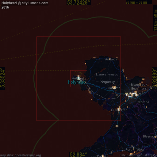
98.93%Clear (daylight) street map image can be seen on geolist.org.
Map coordinates:
53° 43' 27.4" North, 5° 20' 6.9" West
53° 18' 22.4" North, 4° 37' 55.6" West
52° 53' 2.4" North, 3° 55' 44.4" West
Some cities around Holyhead sort by population:
• Colwyn Bay
60.2 km =37.4 mi,  91°
91°
• Rhyl
75.7 km =47 mi, 88°
• Prestatyn
81.4 km =50.6 mi, 87°
• Bangor
34.6 km =21.5 mi,  104°
104°
• Abergele
69.8 km =43.4 mi, 91°
• Llandudno
53.2 km =33.1 mi, 87°
• Caernarfon
30.3 km =18.8 mi,  127°
127°
• Deganwy
53.5 km =33.2 mi, 90°
2646686 (p: 11,431)
Sources (retrieved 2019-11-25):
» Earth at Night: Flat Maps 2012, 2016