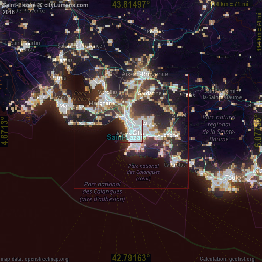
Saint-Lazare night lights from space
Night Light of Saint-Lazare (Provence-Alpes-Côte d'Azur) from space (France) Src. Average luminocity for 10x10km area is 79.1106% and for 50x50km: 29.1132%.
Analysis of Saint-Lazare night lights 2016
Square area 10x10 km:
 50%
50%90-99
18.48%80-89
0.91%70-79
2.42%60-69
1.21%50-59
0.61%40-49
2.58%30-39
8.48%20-29
9.85%10-19
5.3%0-9
0.15%Square area 50x50 km:
6.54%90-99
6.36%80-89
2.91%70-79
2.26%60-69
2.8%50-59
3.06%40-49
3.25%30-39
5.57%20-29
10.72%10-19
15.21%0-9
41.32%Clear (daylight) street map image can be seen on geolist.org.
Map coordinates:
43° 48' 53.9" North, 4° 40' 16.7" East
43° 18' 19.6" North, 5° 22' 27.9" East
42° 47' 29.9" North, 6° 4' 39.2" East
Some cities around Saint-Lazare sort by population:
• Marseille 03
0.3 km =0.2 mi,  160°
160°
• Marseille 02
1 km =0.6 mi,  198°
198°
• Belle de Mai
1.1 km =0.7 mi,  51°
51°
• Belsunce
0.8 km =0.5 mi,  167°
167°
• La Joliette
0.6 km =0.4 mi,  264°
264°
• La Villette
0.7 km =0.4 mi,  356°
356°
• Les Grands Carmes
0.6 km =0.4 mi,  193°
193°
• Le Chapitre
1 km =0.6 mi,  124°
124°
11919741 (p: 10,082)
Sources (retrieved 2019-11-25):
» Earth at Night: Flat Maps 2012, 2016