Saint-Giniez night lights from space
Night Light of Saint-Giniez (Provence-Alpes-Côte d'Azur) from space (France) Src. Average luminocity for 10x10km area is 74.1606% and for 50x50km: 26.1898%.
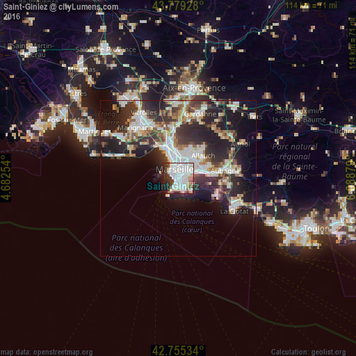
Analysis of Saint-Giniez night lights 2016
Square area 10x10 km:
 37.88%
90-99
19.39%80-89
4.39%70-79
0.76%60-69
4.7%50-59
4.55%40-49
2.58%30-39
8.18%20-29
11.21%10-19
5.91%0-9
0.45%Square area 50x50 km:
6%90-99
5.72%80-89
2.62%70-79
1.91%60-69
2.62%50-59
2.7%40-49
2.96%30-39
4.99%20-29
9.55%10-19
13.29%0-9
47.64%Clear (daylight) street map image can be seen on geolist.org.
Map coordinates:
43° 46' 45.4" North, 4° 40' 57.1" East
43° 16' 10.1" North, 5° 23' 8.4" East
42° 45' 19.2" North, 6° 5' 19.6" East
Some cities around Saint-Giniez sort by population:
• Marseille 08
0.3 km =0.2 mi,  297°
297°
• Périer
1 km =0.6 mi,  330°
330°
• Rouet
1.1 km =0.7 mi,  26°
26°
• La Capelette
2.1 km =1.3 mi,  52°
52°
• Marseille Vauban
1.8 km =1.1 mi, 332°
• Lodi
1.9 km =1.2 mi,  7°
7°
• Castellane
1.8 km =1.1 mi,  352°
352°
• Palais de Justice
2.1 km =1.3 mi,  337°
337°
9609483 (p: 13,606)
Sources (retrieved 2019-11-25):
» Earth at Night: Flat Maps 2012, 2016