Plouguerneau night lights from space
Night Light of Plouguerneau (Brittany) from space (France) Src. Average luminocity for 10x10km area is 1.3497% and for 50x50km: 3.5433%.
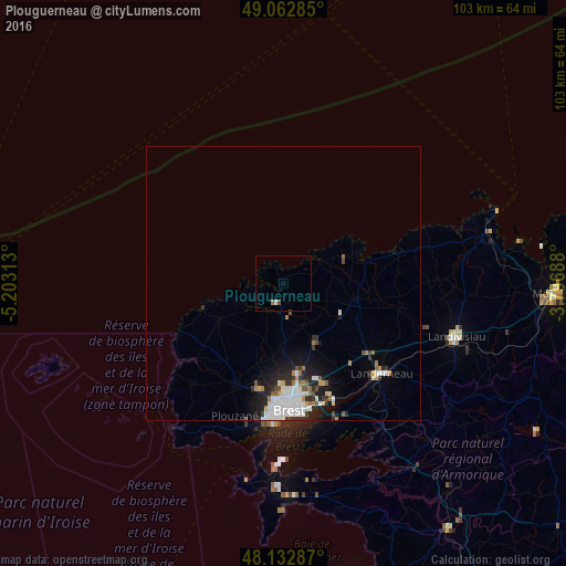
Analysis of Plouguerneau night lights 2016
Square area 10x10 km:
 0.3%
0.3%90-99
0.3%80-89
0%70-79
0%60-69
0.6%50-59
0%40-49
0.6%30-39
0%20-29
0%10-19
0%0-9
98.21%Square area 50x50 km:
0.8%90-99
0.93%80-89
0.15%70-79
0.28%60-69
0.4%50-59
0.35%40-49
0.29%30-39
0.4%20-29
1.04%10-19
1.86%0-9
93.5%Clear (daylight) street map image can be seen on geolist.org.
Map coordinates:
49° 3' 46.3" North, 5° 12' 11.3" West
48° 36' 0" North, 4° 30' 0" West
48° 7' 58.3" North, 3° 47' 48.8" West
Some cities around Plouguerneau sort by population:
• Guipavas
19.8 km =12.3 mi,  157°
157°
• Rd pt des Chataigniers, Rte de Milizac, Guilers, Finistère, France
19.1 km =11.9 mi,  195°
195°
• Plabennec
12.1 km =7.5 mi,  153°
153°
• Guilers
19.9 km =12.4 mi,  192°
192°
• Saint-Renan
20.4 km =12.7 mi, 204°
• Lesneven
13.5 km =8.4 mi,  103°
103°
• Gouesnou
16.6 km =10.3 mi,  170°
170°
• Ploudalmézeau
13.3 km =8.3 mi,  236°
236°
2986664 (p: 5,883)
Sources (retrieved 2019-11-25):
» Earth at Night: Flat Maps 2012, 2016