Metz night lights from space
Night Light of Metz (Grand Est) from space (France) Src. Average luminocity for 10x10km area is 77.8417% and for 50x50km: 16.8318%.
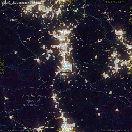

Analysis of Metz night lights 2016
Square area 10x10 km:
 35.71%
90-99
21.85%80-89
2.94%70-79
4.48%60-69
5.6%50-59
4.9%40-49
8.26%30-39
9.66%20-29
6.16%10-19
0.42%0-9
0%Square area 50x50 km:
4.07%90-99
3.94%80-89
1.04%70-79
1.18%60-69
1.37%50-59
1.5%40-49
1.98%30-39
3.18%20-29
4.74%10-19
9.37%0-9
67.63%Clear (daylight) street map image can be seen on geolist.org.
Map coordinates:
49° 34' 37.8" North, 5° 28' 10.4" East
49° 7' 8.8" North, 6° 10' 21.7" East
48° 39' 24.4" North, 6° 52' 32.9" East
Some cities around Metz sort by population:
• Montigny-lès-Metz
3 km =1.9 mi,  209°
209°
• Woippy
3.9 km =2.4 mi,  336°
336°
• Marly
6.3 km =3.9 mi,  192°
192°
• Maizières-lès-Metz
10.5 km =6.5 mi,  354°
354°
• Hagondange
14.4 km =8.9 mi,  357°
357°
• Talange
13 km =8.1 mi, 359°
• Marange-Silvange
11.1 km =6.9 mi,  333°
333°
• Ars-sur-Moselle
8.5 km =5.3 mi,  237°
237°
2994160 (p: 123,914)
Sources (retrieved 2019-11-25):
» NASA, Earths city lights 1995
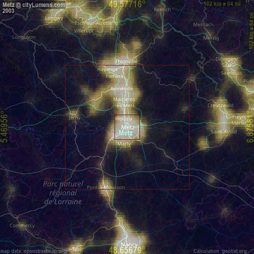
» NASA city lights 2003
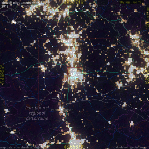
» Earth at Night: Flat Maps 2012, 2016