Marseille 13 night lights from space
Night Light of Marseille 13 (Provence-Alpes-Côte d'Azur) from space (France) Src. Average luminocity for 10x10km area is 94.2818% and for 50x50km: 30.1473%.
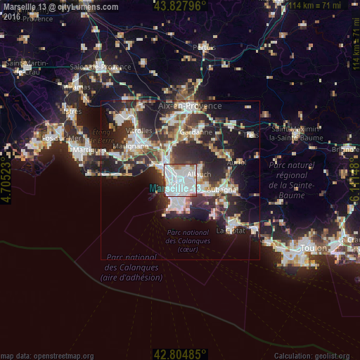
Analysis of Marseille 13 night lights 2016
Square area 10x10 km:
 59.7%
59.7%90-99
25.91%80-89
2.42%70-79
1.82%60-69
4.24%50-59
3.64%40-49
1.67%30-39
0.61%20-29
0%10-19
0%0-9
0%Square area 50x50 km:
6.79%90-99
6.67%80-89
3.05%70-79
2.36%60-69
2.89%50-59
3.07%40-49
3.34%30-39
5.64%20-29
10.81%10-19
15.57%0-9
39.8%Clear (daylight) street map image can be seen on geolist.org.
Map coordinates:
43° 49' 40.7" North, 4° 42' 18.8" East
43° 19' 6.8" North, 5° 24' 30.1" East
42° 48' 17.5" North, 6° 6' 41.3" East
Some cities around Marseille 13 sort by population:
• Saint-Barthélémy
1.5 km =0.9 mi,  340°
340°
• Saint-Just
0.3 km =0.2 mi,  229°
229°
• Cinq Avenues
1.9 km =1.2 mi,  207°
207°
• Montolivet
1.2 km =0.7 mi,  97°
97°
• Malpassé
0.7 km =0.4 mi,  58°
58°
• Saint-Jérôme
1.9 km =1.2 mi,  22°
22°
• Chutes-Lavie
1.4 km =0.9 mi, 229°
• Les Chartreux
0.9 km =0.6 mi,  199°
199°
7284894 (p: 89,316)
Sources (retrieved 2019-11-25):
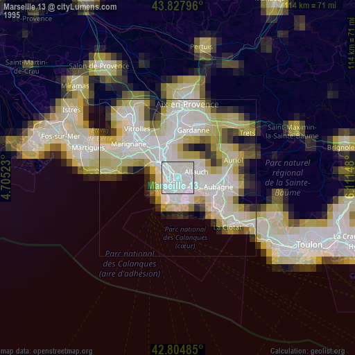
» NASA, Earths city lights 1995
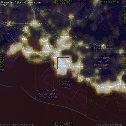
» NASA city lights 2003
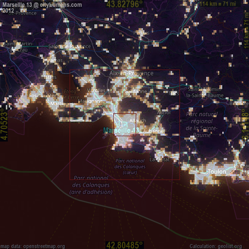
» Earth at Night: Flat Maps 2012, 2016