La Teste-de-Buch night lights from space
Night Light of La Teste-de-Buch (Nouvelle-Aquitaine) from space (France) Src. Average luminocity for 10x10km area is 39.9258% and for 50x50km: 6.925%.
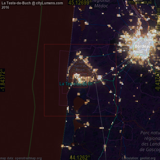
Analysis of La Teste-de-Buch night lights 2016
Square area 10x10 km:
 4.24%
4.24%90-99
6.97%80-89
3.48%70-79
5.15%60-69
11.06%50-59
8.18%40-49
2.42%30-39
2.73%20-29
8.79%10-19
42.12%0-9
4.85%Square area 50x50 km:
0.44%90-99
0.8%80-89
0.49%70-79
1.01%60-69
1.52%50-59
1.24%40-49
0.93%30-39
0.65%20-29
0.95%10-19
8.35%0-9
83.63%Clear (daylight) street map image can be seen on geolist.org.
Map coordinates:
45° 7' 37.2" North, 1° 50' 37.4" West
44° 37' 43.5" North, 1° 8' 26.1" West
44° 7' 34.3" North, 0° 26' 14.9" West
Some cities around La Teste-de-Buch sort by population:
• Gujan-Mestras
5.9 km =3.7 mi,  85°
85°
• Arcachon
4 km =2.5 mi,  326°
326°
• Andernos-les-Bains
13.3 km =8.3 mi,  12°
12°
• Biganos
13.3 km =8.3 mi,  82°
82°
• Lanton
11.8 km =7.3 mi,  44°
44°
• Audenge
12 km =7.5 mi,  57°
57°
• Le Teich
9.4 km =5.8 mi, 87°
• Arès
15.3 km =9.5 mi,  2°
2°
3006283 (p: 27,253)
Sources (retrieved 2019-11-25):
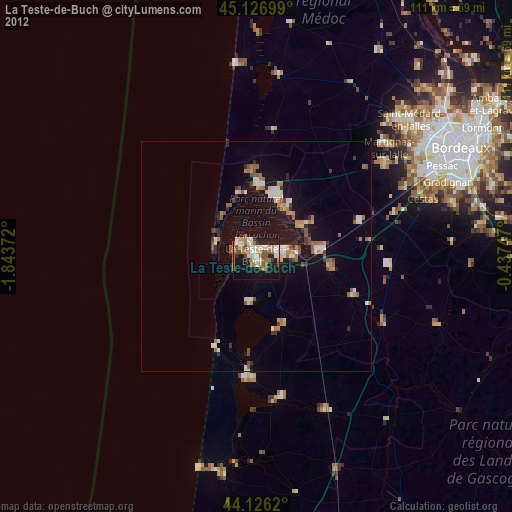
» Earth at Night: Flat Maps 2012, 2016