Dijon night lights from space
Night Light of Dijon (Bourgogne-Franche-Comté) from space (France) Src. Average luminocity for 10x10km area is 71.2381% and for 50x50km: 7.0492%.
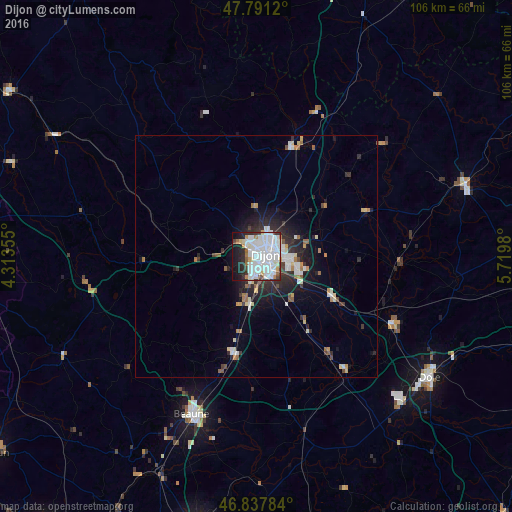
Analysis of Dijon night lights 2016
Square area 10x10 km:
 32.89%
90-99
24.11%80-89
2.38%70-79
2.98%60-69
3.87%50-59
2.08%40-49
2.83%30-39
4.02%20-29
9.67%10-19
12.8%0-9
2.38%Square area 50x50 km:
1.78%90-99
1.5%80-89
0.54%70-79
0.49%60-69
0.63%50-59
0.54%40-49
0.46%30-39
0.96%20-29
2.37%10-19
3.8%0-9
86.93%Clear (daylight) street map image can be seen on geolist.org.
Map coordinates:
47° 47' 28.3" North, 4° 18' 48.8" East
47° 19' 0" North, 5° 1' 0" East
46° 50' 16.2" North, 5° 43' 11.3" East
Some cities around Dijon sort by population:
• Chenôve
2.8 km =1.7 mi,  199°
199°
• Talant
2.3 km =1.4 mi,  345°
345°
• Chevigny-Saint-Sauveur
9 km =5.6 mi,  102°
102°
• Quetigny
7.5 km =4.7 mi,  90°
90°
• Longvic
4.8 km =3 mi,  132°
132°
• Fontaine-lès-Dijon
2.9 km =1.8 mi,  5°
5°
• Saint-Apollinaire
5.4 km =3.4 mi,  69°
69°
• Marsannay-la-Côte
5.5 km =3.4 mi, 202°
3021372 (p: 149,782)
Sources (retrieved 2019-11-25):
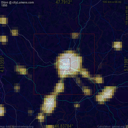
» NASA, Earths city lights 1995
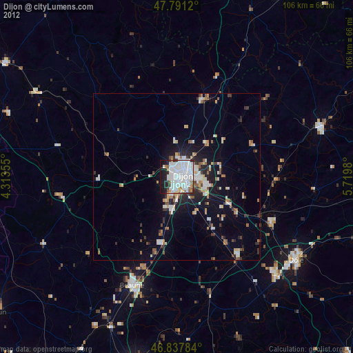
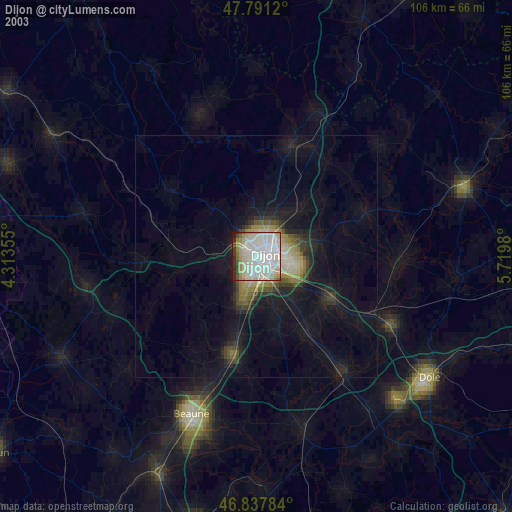
» NASA city lights 2003
» Earth at Night: Flat Maps 2012, 2016