Cuers night lights from space
Night Light of Cuers (Provence-Alpes-Côte d'Azur) from space (France) Src. Average luminocity for 10x10km area is 21.2121% and for 50x50km: 16.9%.
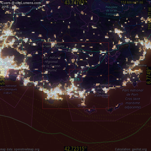
Analysis of Cuers night lights 2016
Square area 10x10 km:
 1.36%
1.36%90-99
3.79%80-89
2.27%70-79
4.39%60-69
1.52%50-59
1.82%40-49
0.76%30-39
1.36%20-29
4.55%10-19
31.36%0-9
46.82%Square area 50x50 km:
2.46%90-99
3.54%80-89
2.21%70-79
1.45%60-69
1.74%50-59
1.77%40-49
1.89%30-39
1.9%20-29
5.2%10-19
10.15%0-9
67.69%Clear (daylight) street map image can be seen on geolist.org.
Map coordinates:
43° 44' 51.5" North, 5° 22' 7.1" East
43° 14' 15.1" North, 6° 4' 18.4" East
42° 43' 23.3" North, 6° 46' 29.6" East
Some cities around Cuers sort by population:
• Hyères
13.8 km =8.6 mi,  160°
160°
• La Garde
13.5 km =8.4 mi,  201°
201°
• La Valette-du-Var
13.2 km =8.2 mi,  212°
212°
• La Crau
9.8 km =6.1 mi,  178°
178°
• Le Pradet
15.2 km =9.4 mi,  194°
194°
• Solliès-Pont
5.8 km =3.6 mi, 205°
• La Farlède
8 km =5 mi, 196°
• Garéoult
10.3 km =6.4 mi,  348°
348°
3022158 (p: 8,869)
Sources (retrieved 2019-11-25):
» Earth at Night: Flat Maps 2012, 2016