Hyères night lights from space
Night Light of Hyères (Provence-Alpes-Côte d'Azur) from space (France) Src. Average luminocity for 10x10km area is 46.4318% and for 50x50km: 13.0398%.
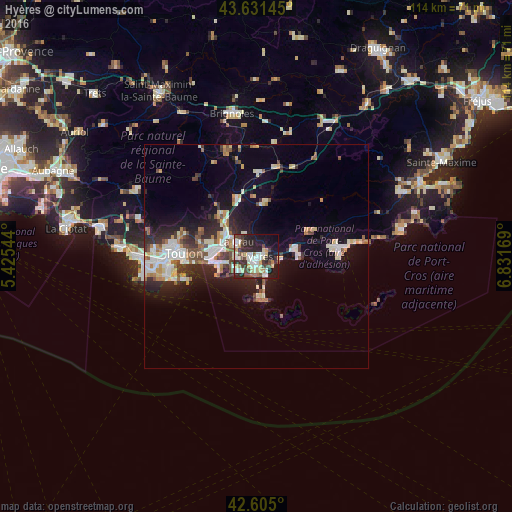
Analysis of Hyères night lights 2016
Square area 10x10 km:
 8.48%
8.48%90-99
11.06%80-89
6.52%70-79
3.94%60-69
3.33%50-59
3.18%40-49
9.39%30-39
7.73%20-29
20%10-19
21.67%0-9
4.7%Square area 50x50 km:
2.08%90-99
2.77%80-89
1.4%70-79
1.2%60-69
1.3%50-59
1.46%40-49
1.63%30-39
1.63%20-29
4.14%10-19
7.94%0-9
74.45%Clear (daylight) street map image can be seen on geolist.org.
Map coordinates:
43° 37' 53.2" North, 5° 25' 31.6" East
43° 7' 13.4" North, 6° 7' 42.9" East
42° 36' 18" North, 6° 49' 54.1" East
Some cities around Hyères sort by population:
• La Garde
9.6 km =6 mi,  272°
272°
• La Valette-du-Var
12 km =7.5 mi,  279°
279°
• La Crau
5.5 km =3.4 mi,  306°
306°
• Le Pradet
8.7 km =5.4 mi,  258°
258°
• Solliès-Pont
10.5 km =6.5 mi,  317°
317°
• La Londe-les-Maures
8.8 km =5.5 mi,  76°
76°
• Carqueiranne
5.3 km =3.3 mi,  237°
237°
• La Farlède
8.8 km =5.5 mi, 307°
3012937 (p: 50,487)
Sources (retrieved 2019-11-25):
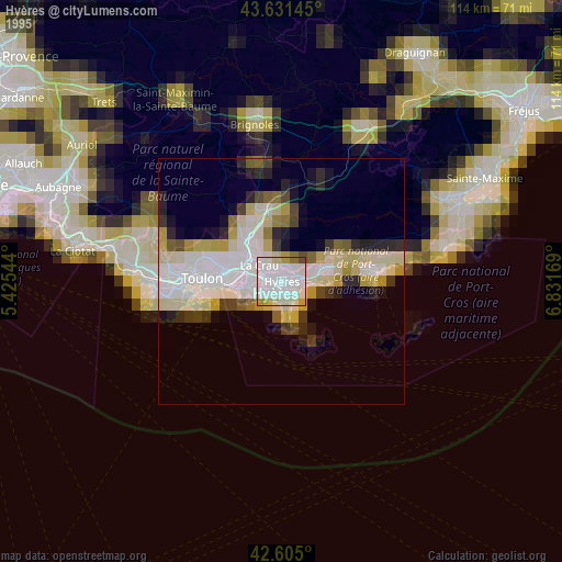
» NASA, Earths city lights 1995
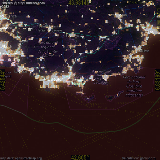
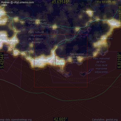
» NASA city lights 2003
» Earth at Night: Flat Maps 2012, 2016