Bayonne night lights from space
Night Light of Bayonne (Nouvelle-Aquitaine) from space (France) Src. Average luminocity for 10x10km area is 62.5% and for 50x50km: 8.8874%.
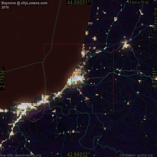
Analysis of Bayonne night lights 2016
Square area 10x10 km:
 13.81%
90-99
16.35%80-89
7.14%70-79
10.63%60-69
7.46%50-59
8.1%40-49
5.24%30-39
7.14%20-29
14.6%10-19
9.05%0-9
0.48%Square area 50x50 km:
1.02%90-99
1.29%80-89
0.7%70-79
1%60-69
1.46%50-59
1.64%40-49
1.27%30-39
1.09%20-29
2.61%10-19
7.09%0-9
80.83%Clear (daylight) street map image can be seen on geolist.org.
Map coordinates:
44° 0' 1.8" North, 2° 10' 45.7" West
43° 29' 33.3" North, 1° 28' 34.5" West
42° 58' 49.2" North, 0° 46' 23.2" West
Some cities around Bayonne sort by population:
• Anglet
3.5 km =2.2 mi,  239°
239°
• Biarritz
6.5 km =4 mi,  257°
257°
• Tarnos
5.6 km =3.5 mi,  11°
11°
• Boucau
4 km =2.5 mi, 12°
• Capbreton
17.1 km =10.6 mi, 13°
• Hasparren
18.4 km =11.4 mi,  131°
131°
• Ustaritz
10.8 km =6.7 mi,  171°
171°
• Bidart
11.1 km =6.9 mi, 236°
3034475 (p: 44,396)
Sources (retrieved 2019-11-25):
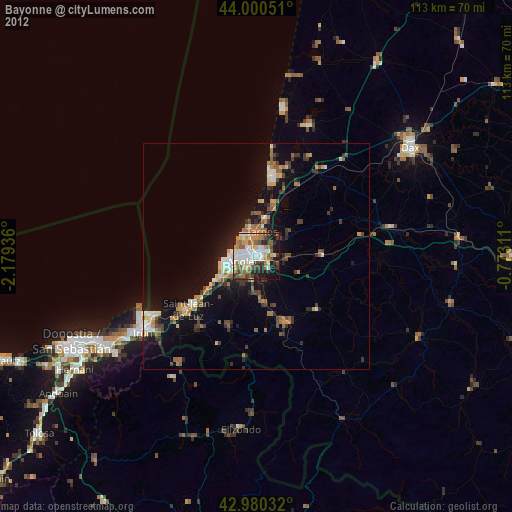
» Earth at Night: Flat Maps 2012, 2016