Vihti night lights from space
Night Light of Vihti (Uusimaa) from space (Finland) Src. Average luminocity for 10x10km area is 1.6407% and for 50x50km: 7.7439%.
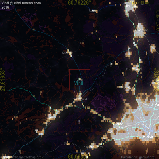
Analysis of Vihti night lights 2016
Square area 10x10 km:
 0%
0%90-99
0%80-89
0.43%70-79
0%60-69
0%50-59
0.65%40-49
0.22%30-39
0%20-29
0%10-19
0%0-9
98.7%Square area 50x50 km:
1.3%90-99
1.66%80-89
0.85%70-79
0.88%60-69
0.98%50-59
1.29%40-49
0.37%30-39
0.48%20-29
1.18%10-19
5.1%0-9
85.9%Clear (daylight) street map image can be seen on geolist.org.
Map coordinates:
60° 45' 44.1" North, 23° 36' 59.5" East
60° 25' 1.2" North, 24° 19' 10.7" East
60° 4' 4.8" North, 25° 1' 22" East
Some cities around Vihti sort by population:
• Espoo
29.8 km =18.5 mi,  142°
142°
• Nurmijärvi
27.3 km =17 mi,  78°
78°
• Lohja
23.4 km =14.5 mi,  216°
216°
• Kirkkonummi
33.3 km =20.7 mi,  168°
168°
• Karkkila
14.4 km =8.9 mi,  335°
335°
• Kauniainen
32 km =19.9 mi, 135°
• Loppi
34.1 km =21.2 mi,  12°
12°
• Siuntio
31.4 km =19.5 mi,  189°
189°
631707 (p: 26,280)
Sources (retrieved 2019-11-25):
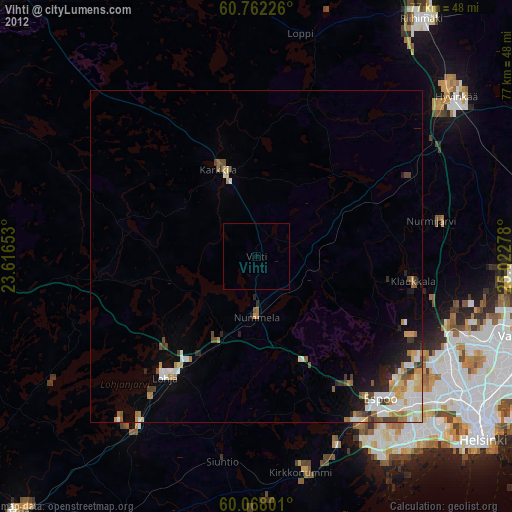
» Earth at Night: Flat Maps 2012, 2016