Lohja night lights from space
Night Light of Lohja (Uusimaa) from space (Finland) Src. Average luminocity for 10x10km area is 27.4491% and for 50x50km: 4.881%.
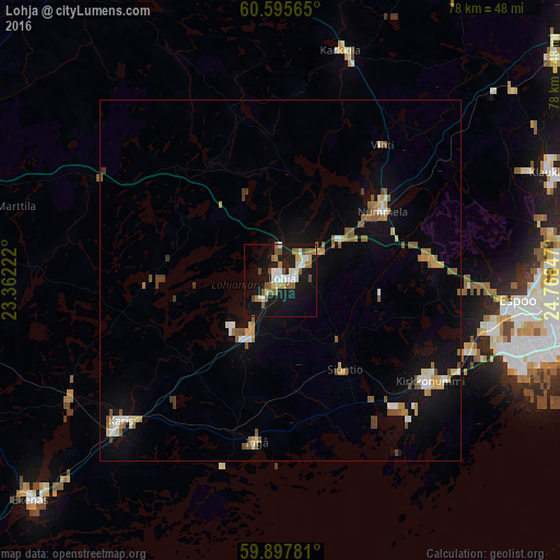
Analysis of Lohja night lights 2016
Square area 10x10 km:
 4.22%
4.22%90-99
4.33%80-89
3.46%70-79
1.95%60-69
5.52%50-59
4.98%40-49
2.6%30-39
0.11%20-29
2.27%10-19
37.12%0-9
33.44%Square area 50x50 km:
0.52%90-99
0.64%80-89
0.43%70-79
0.66%60-69
0.73%50-59
1.14%40-49
0.54%30-39
0.24%20-29
0.11%10-19
4.06%0-9
90.95%Clear (daylight) street map image can be seen on geolist.org.
Map coordinates:
60° 35' 44.3" North, 23° 21' 44" East
60° 14' 54.9" North, 24° 3' 55.2" East
59° 53' 52.1" North, 24° 46' 6.5" East
Some cities around Lohja sort by population:
• Espoo
32.8 km =20.4 mi,  98°
98°
• Kirkkonummi
24.9 km =15.5 mi,  123°
123°
• Vihti
23.4 km =14.5 mi,  36°
36°
• Karis
29.8 km =18.5 mi,  228°
228°
• Karkkila
32.7 km =20.3 mi,  14°
14°
• Pohja
34.2 km =21.3 mi,  240°
240°
• Siuntio
15.1 km =9.4 mi,  143°
143°
• Ingå
22.8 km =14.2 mi,  188°
188°
647751 (p: 35,960)
Sources (retrieved 2019-11-25):
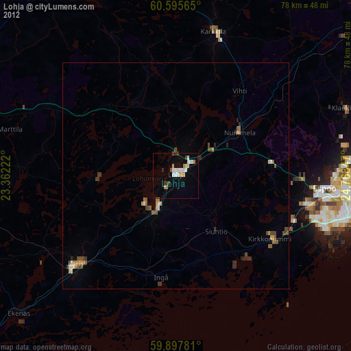
» Earth at Night: Flat Maps 2012, 2016