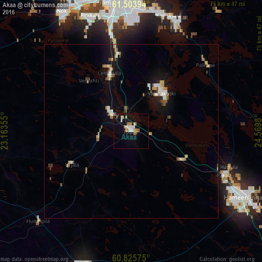
Akaa night lights from space
Night Light of Akaa (Pirkanmaa) from space (Finland) Src. Average luminocity for 10x10km area is 14.4437% and for 50x50km: 3.257%.
Analysis of Akaa night lights 2016
Square area 10x10 km:
 2.38%
2.38%90-99
2.92%80-89
1.3%70-79
1.95%60-69
1.95%50-59
1.73%40-49
0.22%30-39
0%20-29
0%10-19
14.18%0-9
73.38%Square area 50x50 km:
0.43%90-99
0.52%80-89
0.3%70-79
0.42%60-69
0.41%50-59
0.47%40-49
0.27%30-39
0.18%20-29
0.17%10-19
2.81%0-9
94%Clear (daylight) street map image can be seen on geolist.org.
Map coordinates:
61° 30' 14.2" North, 23° 9' 48.8" East
61° 10' 0" North, 23° 52' 0" East
60° 49' 32.7" North, 24° 34' 11.3" East
Some cities around Akaa sort by population:
• Tampere
37.2 km =23.1 mi,  353°
353°
• Kangasala
34.9 km =21.7 mi,  18°
18°
• Valkeakoski
14 km =8.7 mi,  39°
39°
• Lempäälä
17.8 km =11.1 mi,  339°
339°
• Pirkkala
35.1 km =21.8 mi, 339°
• Toijala
1.5 km =0.9 mi,  274°
274°
• Urjala
20.2 km =12.6 mi,  242°
242°
• Viiala
7.2 km =4.5 mi,  312°
312°
634317 (p: 8,258)
Sources (retrieved 2019-11-25):
» Earth at Night: Flat Maps 2012, 2016