Zamora night lights from space
Night Light of Zamora (Castille and León) from space (Spain) Src. Average luminocity for 10x10km area is 34.1344% and for 50x50km: 2.3656%.
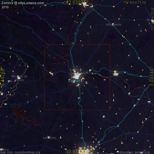
Analysis of Zamora night lights 2016
Square area 10x10 km:
 7.48%
7.48%90-99
9.01%80-89
4.25%70-79
2.04%60-69
2.04%50-59
2.04%40-49
0.51%30-39
2.21%20-29
5.95%10-19
47.79%0-9
16.67%Square area 50x50 km:
0.29%90-99
0.48%80-89
0.32%70-79
0.21%60-69
0.18%50-59
0.29%40-49
0.18%30-39
0.26%20-29
0.41%10-19
2.28%0-9
95.1%Clear (daylight) street map image can be seen on geolist.org.
Map coordinates:
42° 1' 50.7" North, 6° 26' 51.7" West
41° 30' 22.8" North, 5° 44' 40.4" West
40° 58' 39.5" North, 5° 2' 29.2" West
Some cities around Zamora sort by population:
• Salamanca
60.1 km =37.3 mi,  173°
173°
• Medina del Campo
72.5 km =45 mi,  107°
107°
• Benavente
55.4 km =34.4 mi,  5°
5°
• Santa Marta de Tormes
62.6 km =38.9 mi, 170°
• Toro
29.1 km =18.1 mi,  86°
86°
• Tordesillas
61.9 km =38.5 mi, 90°
• Miranda do Douro, PT
44 km =27.3 mi,  268°
268°
• Medina de Ríoseco
71.7 km =44.6 mi,  54°
54°
3104342 (p: 66,293)
Sources (retrieved 2019-11-25):
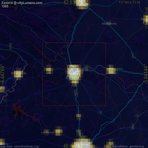
» NASA, Earths city lights 1995
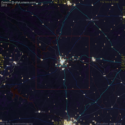
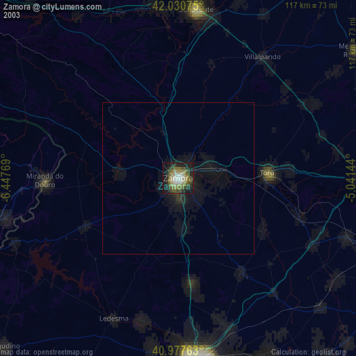
» NASA city lights 2003
» Earth at Night: Flat Maps 2012, 2016