Villarrobledo night lights from space
Night Light of Villarrobledo (Castille-La Mancha) from space (Spain) Src. Average luminocity for 10x10km area is 17.2653% and for 50x50km: 2.163%.
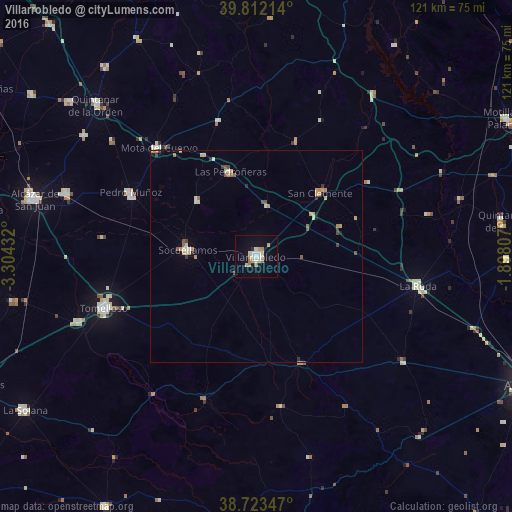
Analysis of Villarrobledo night lights 2016
Square area 10x10 km:
 1.87%
1.87%90-99
4.59%80-89
2.55%70-79
2.55%60-69
2.21%50-59
1.19%40-49
0.34%30-39
0%20-29
0.68%10-19
8.33%0-9
75.68%Square area 50x50 km:
0.14%90-99
0.39%80-89
0.3%70-79
0.38%60-69
0.38%50-59
0.24%40-49
0.25%30-39
0.17%20-29
0.16%10-19
0.44%0-9
97.15%Clear (daylight) street map image can be seen on geolist.org.
Map coordinates:
39° 48' 43.7" North, 3° 18' 15.6" West
39° 16' 11.7" North, 2° 36' 4.3" West
38° 43' 24.5" North, 1° 53' 53.1" West
Some cities around Villarrobledo sort by population:
• Tomelloso
38.3 km =23.8 mi,  250°
250°
• La Roda
38.9 km =24.2 mi,  100°
100°
• Socuéllamos
16.5 km =10.3 mi,  276°
276°
• Pedro Muñoz
33.2 km =20.6 mi,  296°
296°
• Las Pedroñeras
21 km =13 mi,  342°
342°
• Argamasilla de Alba
45.1 km =28 mi, 249°
• San Clemente
21.1 km =13.1 mi,  44°
44°
• Mota del Cuervo
34.6 km =21.5 mi,  318°
318°
2509491 (p: 26,642)
Sources (retrieved 2019-11-25):
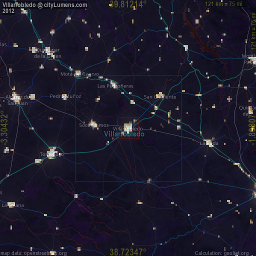
» Earth at Night: Flat Maps 2012, 2016