Valladolid night lights from space
Night Light of Valladolid (Castille and León) from space (Spain) Src. Average luminocity for 10x10km area is 75.6932% and for 50x50km: 11.4785%.
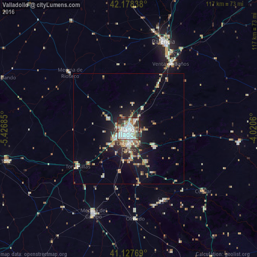
Analysis of Valladolid night lights 2016
Square area 10x10 km:
 26.46%
90-99
28.9%80-89
5.36%70-79
0.97%60-69
8.44%50-59
3.73%40-49
4.38%30-39
12.01%20-29
9.25%10-19
0.49%0-9
0%Square area 50x50 km:
1.69%90-99
2.6%80-89
1.25%70-79
1.26%60-69
1.77%50-59
0.84%40-49
0.8%30-39
1.45%20-29
3.1%10-19
6.83%0-9
78.41%Clear (daylight) street map image can be seen on geolist.org.
Map coordinates:
42° 10' 42.2" North, 5° 25' 36.7" West
41° 39' 18.6" North, 4° 43' 25.4" West
41° 7' 39.7" North, 4° 1' 14.2" West
Some cities around Valladolid sort by population:
• Laguna de Duero
8.2 km =5.1 mi,  179°
179°
• Arroyo de la Encomienda
7.9 km =4.9 mi,  230°
230°
• Tordesillas
28.7 km =17.8 mi, 233°
• Iscar
36.3 km =22.6 mi,  154°
154°
• Tudela de Duero
14.2 km =8.8 mi,  123°
123°
• Cistérniga
5.6 km =3.5 mi, 146°
• Venta de Baños
35.3 km =21.9 mi,  33°
33°
• Medina de Ríoseco
36.7 km =22.8 mi,  313°
313°
3106672 (p: 317,864)
Sources (retrieved 2019-11-25):
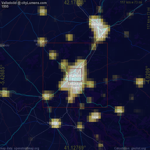
» NASA, Earths city lights 1995
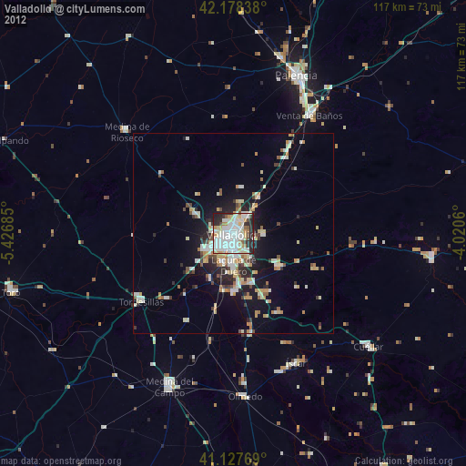
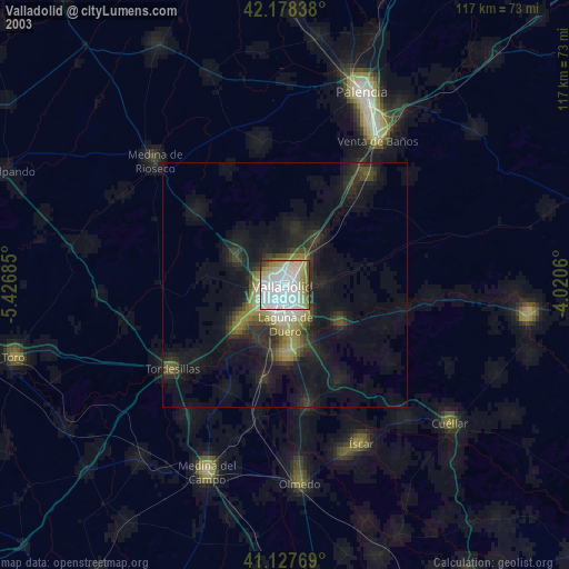
» NASA city lights 2003
» Earth at Night: Flat Maps 2012, 2016