Tazacorte night lights from space
Night Light of Tazacorte (Canary Islands) from space (Spain) Src. Average luminocity for 10x10km area is 12.7064% and for 50x50km: 1.7878%.
Analysis of Tazacorte night lights 2016
Square area 10x10 km:
 0.76%
0.76%90-99
0.76%80-89
2.27%70-79
1.33%60-69
1.7%50-59
0.95%40-49
0.95%30-39
6.06%20-29
7.01%10-19
2.08%0-9
76.14%Square area 50x50 km:
0.04%90-99
0.1%80-89
0.16%70-79
0.28%60-69
0.3%50-59
0.28%40-49
0.28%30-39
0.57%20-29
0.73%10-19
0.51%0-9
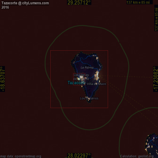
96.74%Clear (daylight) street map image can be seen on geolist.org.
Map coordinates:
29° 15' 25.6" North, 18° 38' 13.5" West
28° 38' 30.7" North, 17° 56' 2.2" West
28° 1' 22.7" North, 17° 13' 51" West
Some cities around Tazacorte sort by population:
• Los Llanos de Aridane
2.4 km =1.5 mi,  39°
39°
• Santa Cruz de la Palma
17.2 km =10.7 mi,  74°
74°
• Santiago del Teide
115.9 km =72 mi,  109°
109°
• San Sebastián de la Gomera
100.9 km =62.7 mi,  127°
127°
• Breña Alta
14.7 km =9.1 mi,  86°
86°
• El Paso
5.1 km =3.2 mi,  79°
79°
• Los Silos
113.5 km =70.5 mi, 105°
• Buenavista del Norte
109 km =67.7 mi, 105°
2510582 (p: 5,670)
Sources (retrieved 2019-11-25):
» Earth at Night: Flat Maps 2012, 2016