Talavera de la Reina night lights from space
Night Light of Talavera de la Reina (Castille-La Mancha) from space (Spain) Src. Average luminocity for 10x10km area is 28.9201% and for 50x50km: 3.419%.
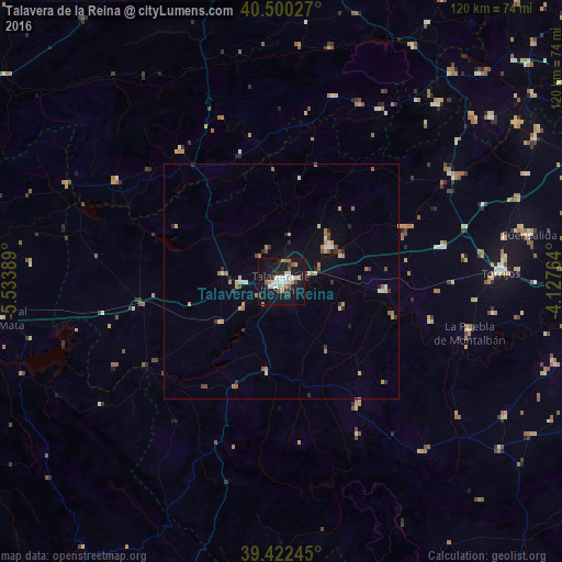
Analysis of Talavera de la Reina night lights 2016
Square area 10x10 km:
 4.25%
4.25%90-99
7.48%80-89
1.19%70-79
3.74%60-69
4.08%50-59
2.21%40-49
1.19%30-39
3.23%20-29
4.93%10-19
42.18%0-9
25.51%Square area 50x50 km:
0.25%90-99
0.55%80-89
0.36%70-79
0.52%60-69
0.67%50-59
0.34%40-49
0.3%30-39
0.39%20-29
0.62%10-19
2%0-9
94.01%Clear (daylight) street map image can be seen on geolist.org.
Map coordinates:
40° 30' 1" North, 5° 32' 2" West
39° 57' 48.5" North, 4° 49' 50.7" West
39° 25' 20.8" North, 4° 7' 39.5" West
Some cities around Talavera de la Reina sort by population:
• Navalmoral de la Mata
61.1 km =38 mi,  262°
262°
• Torrijos
46.7 km =29 mi,  87°
87°
• Fuensalida
54 km =33.6 mi,  79°
79°
• La Puebla de Montalbán
41.7 km =25.9 mi,  105°
105°
• San Martín de Valdeiglesias
57.6 km =35.8 mi,  39°
39°
• Arenas de San Pedro
35.1 km =21.8 mi,  321°
321°
• Villa del Prado
56.8 km =35.3 mi,  51°
51°
• Candeleda
40.9 km =25.4 mi,  301°
301°
2510693 (p: 88,856)
Sources (retrieved 2019-11-25):
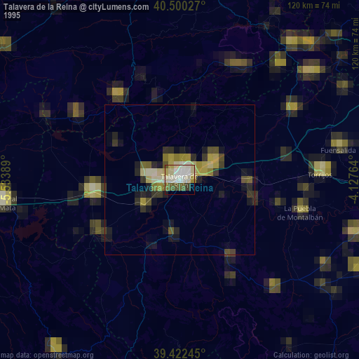
» NASA, Earths city lights 1995
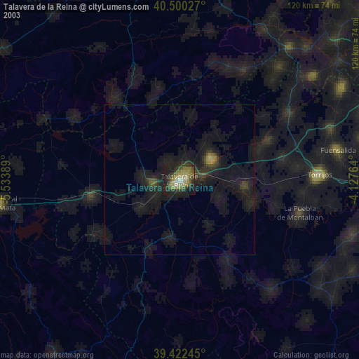
» NASA city lights 2003
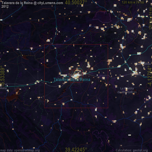
» Earth at Night: Flat Maps 2012, 2016