Soria night lights from space
Night Light of Soria (Castille and León) from space (Spain) Src. Average luminocity for 10x10km area is 21.9838% and for 50x50km: 1.5104%.
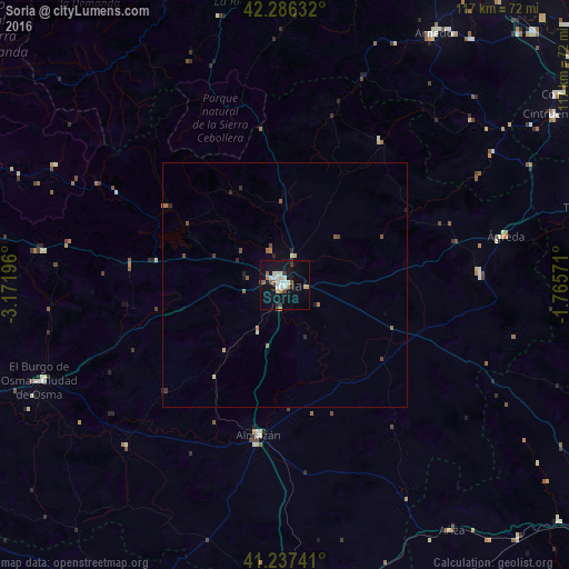
Analysis of Soria night lights 2016
Square area 10x10 km:
 4.87%
4.87%90-99
3.9%80-89
2.11%70-79
1.62%60-69
1.3%50-59
3.25%40-49
1.14%30-39
2.27%20-29
1.3%10-19
27.92%0-9
50.32%Square area 50x50 km:
0.19%90-99
0.2%80-89
0.16%70-79
0.14%60-69
0.16%50-59
0.31%40-49
0.22%30-39
0.15%20-29
0.28%10-19
1.17%0-9
97.02%Clear (daylight) street map image can be seen on geolist.org.
Map coordinates:
42° 17' 10.8" North, 3° 10' 19.1" West
41° 45' 50.4" North, 2° 28' 7.8" West
41° 14' 14.7" North, 1° 45' 56.6" West
Some cities around Soria sort by population:
• Calahorra
73.1 km =45.4 mi,  34°
34°
• Arnedo
59.9 km =37.2 mi, 30°
• Tarazona
63.4 km =39.4 mi,  75°
75°
• Corella
68.7 km =42.7 mi,  55°
55°
• Cintruénigo
65.2 km =40.5 mi, 57°
• Lardero
73.7 km =45.8 mi,  0°
0°
• Almazán
31.3 km =19.4 mi,  189°
189°
• El Burgo de Osma
53.3 km =33.1 mi,  248°
248°
3108681 (p: 39,528)
Sources (retrieved 2019-11-25):
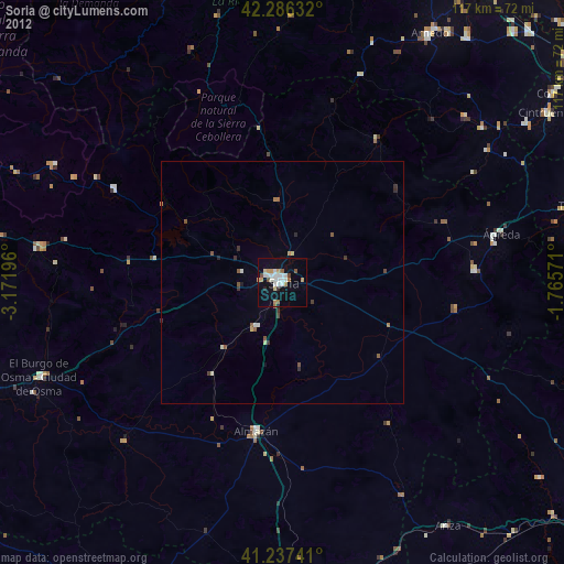
» Earth at Night: Flat Maps 2012, 2016