Orihuela night lights from space
Night Light of Orihuela (Valencia) from space (Spain) Src. Average luminocity for 10x10km area is 58.4172% and for 50x50km: 33.6824%.
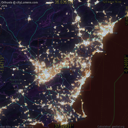
Analysis of Orihuela night lights 2016
Square area 10x10 km:
 4.38%
4.38%90-99
10.39%80-89
10.06%70-79
11.04%60-69
12.99%50-59
12.82%40-49
9.74%30-39
8.6%20-29
18.02%10-19
1.95%0-9
0%Square area 50x50 km:
4.58%90-99
5.78%80-89
4.31%70-79
5.23%60-69
5.5%50-59
3.84%40-49
4.85%30-39
5.43%20-29
11.38%10-19
17.85%0-9
31.25%Clear (daylight) street map image can be seen on geolist.org.
Map coordinates:
38° 38' 10.2" North, 1° 38' 49.7" West
38° 5' 5.4" North, 0° 56' 38.4" West
37° 31' 45.5" North, 0° 14' 27.2" West
Some cities around Orihuela sort by population:
• Callosa de Segura
7.3 km =4.5 mi,  52°
52°
• Santomera
9.5 km =5.9 mi,  254°
254°
• Albatera
12.3 km =7.6 mi,  31°
31°
• Beniel
6.7 km =4.2 mi,  230°
230°
• Redován
4.6 km =2.9 mi,  40°
40°
• Cox
8 km =5 mi, 38°
• Bigastro
4.7 km =2.9 mi,  122°
122°
• Benejúzar
9.2 km =5.7 mi,  95°
95°
2513076 (p: 86,164)
Sources (retrieved 2019-11-25):
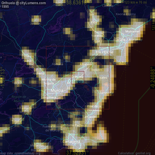
» NASA, Earths city lights 1995
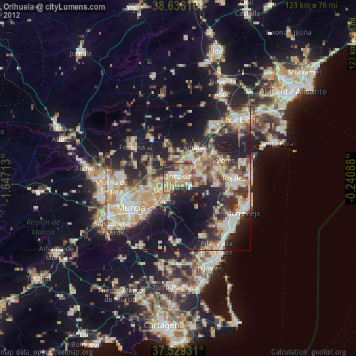
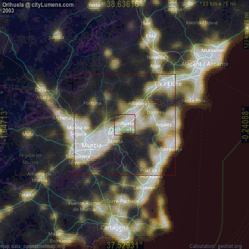
» NASA city lights 2003
» Earth at Night: Flat Maps 2012, 2016