Motilla del Palancar night lights from space
Night Light of Motilla del Palancar (Castille-La Mancha) from space (Spain) Src. Average luminocity for 10x10km area is 6.6347% and for 50x50km: 1.4813%.
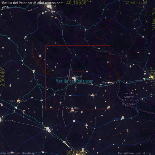
Analysis of Motilla del Palancar night lights 2016
Square area 10x10 km:
 0.81%
0.81%90-99
1.3%80-89
1.3%70-79
1.79%60-69
0.65%50-59
0%40-49
0.65%30-39
0%20-29
0%10-19
0.81%0-9
92.69%Square area 50x50 km:
0.05%90-99
0.3%80-89
0.22%70-79
0.25%60-69
0.3%50-59
0.26%40-49
0.17%30-39
0.21%20-29
0.21%10-19
0.18%0-9
97.85%Clear (daylight) street map image can be seen on geolist.org.
Map coordinates:
40° 6' 23.7" North, 2° 35' 11.3" West
39° 34' 0" North, 1° 52' 60" West
39° 1' 21.1" North, 1° 10' 48.8" West
Some cities around Motilla del Palancar sort by population:
• Albacete
63.7 km =39.6 mi,  177°
177°
• Cuenca
59.6 km =37 mi,  338°
338°
• Requena
67.7 km =42.1 mi,  97°
97°
• La Roda
46.4 km =28.8 mi,  210°
210°
• Utiel
58.6 km =36.4 mi,  90°
90°
• Quintanar del Rey
26.3 km =16.3 mi,  189°
189°
• San Clemente
50.1 km =31.1 mi,  248°
248°
• Tarazona de la Mancha
35.3 km =21.9 mi, 184°
2513480 (p: 5,607)
Sources (retrieved 2019-11-25):
» Earth at Night: Flat Maps 2012, 2016