Majadahonda night lights from space
Night Light of Majadahonda (Madrid) from space (Spain) Src. Average luminocity for 10x10km area is 74.1701% and for 50x50km: 48.4103%.
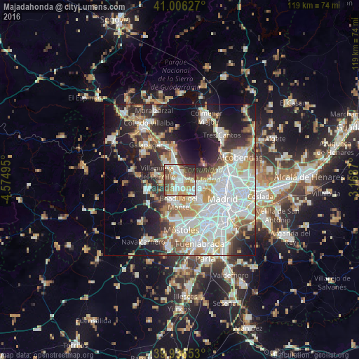
Analysis of Majadahonda night lights 2016
Square area 10x10 km:
 20.24%
90-99
21.6%80-89
7.99%70-79
8.5%60-69
9.86%50-59
9.52%40-49
12.76%30-39
4.25%20-29
5.27%10-19
0%0-9
0%Square area 50x50 km:
14.28%90-99
12.08%80-89
4.34%70-79
5.73%60-69
5.04%50-59
4.23%40-49
4.18%30-39
5.07%20-29
9.67%10-19
16.11%0-9
19.29%Clear (daylight) street map image can be seen on geolist.org.
Map coordinates:
41° 0' 22.6" North, 4° 34' 29.8" West
40° 28' 24.7" North, 3° 52' 18.6" West
39° 56' 11.5" North, 3° 10' 7.3" West
Some cities around Majadahonda sort by population:
• Fuencarral-El Pardo
12.2 km =7.6 mi,  76°
76°
• Las Rozas de Madrid
2.2 km =1.4 mi,  355°
355°
• Pozuelo de Alarcón
6.7 km =4.2 mi,  132°
132°
• Boadilla del Monte
7.6 km =4.7 mi,  184°
184°
• Torrelodones
12.4 km =7.7 mi,  337°
337°
• Villanueva de la Cañada
11.6 km =7.2 mi,  255°
255°
• Villanueva del Pardillo
8 km =5 mi,  283°
283°
• Las Matas
9.5 km =5.9 mi,  349°
349°
3117667 (p: 68,110)
Sources (retrieved 2019-11-25):
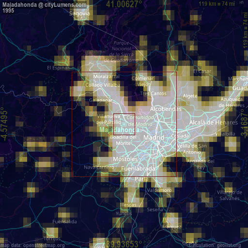
» NASA, Earths city lights 1995
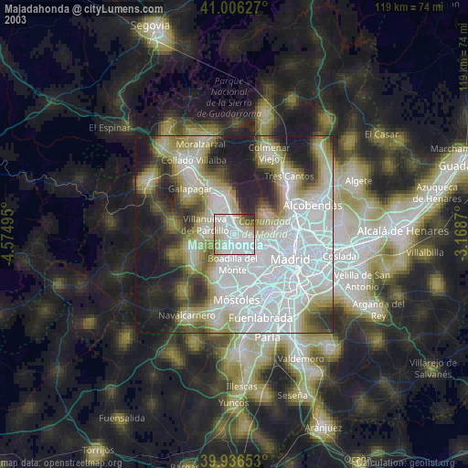
» NASA city lights 2003
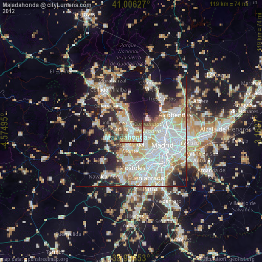
» Earth at Night: Flat Maps 2012, 2016