Herencia night lights from space
Night Light of Herencia (Castille-La Mancha) from space (Spain) Src. Average luminocity for 10x10km area is 4.716% and for 50x50km: 3.2456%.
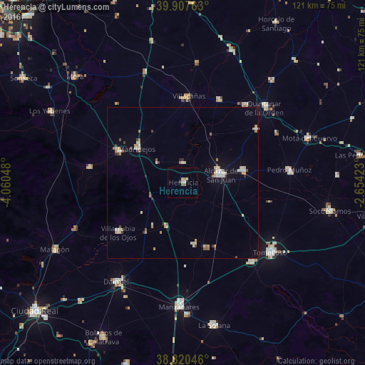
Analysis of Herencia night lights 2016
Square area 10x10 km:
 0%
0%90-99
1.19%80-89
0.85%70-79
0.85%60-69
0.51%50-59
0.85%40-49
0.51%30-39
0.68%20-29
0%10-19
0%0-9
94.56%Square area 50x50 km:
0.34%90-99
0.63%80-89
0.51%70-79
0.43%60-69
0.35%50-59
0.3%40-49
0.35%30-39
0.31%20-29
0.19%10-19
0.61%0-9
95.98%Clear (daylight) street map image can be seen on geolist.org.
Map coordinates:
39° 54' 27.5" North, 4° 3' 37.7" West
39° 21' 58.2" North, 3° 21' 26.5" West
38° 49' 13.7" North, 2° 39' 15.2" West
Some cities around Herencia sort by population:
• Alcázar de San Juan
13.1 km =8.1 mi,  78°
78°
• Campo de Criptana
20.4 km =12.7 mi, 77°
• Madridejos
18.8 km =11.7 mi,  307°
307°
• Villarrubia de los Ojos
27 km =16.8 mi,  233°
233°
• Consuegra
24 km =14.9 mi,  296°
296°
• Villacañas
28.7 km =17.8 mi,  3°
3°
• Villafranca de los Caballeros
6.9 km =4.3 mi,  357°
357°
• Miguel Esteban
29.9 km =18.6 mi,  53°
53°
2516790 (p: 7,879)
Sources (retrieved 2019-11-25):
» Earth at Night: Flat Maps 2012, 2016