Miguel Esteban night lights from space
Night Light of Miguel Esteban (Castille-La Mancha) from space (Spain) Src. Average luminocity for 10x10km area is 4.5292% and for 50x50km: 3.7312%.
Analysis of Miguel Esteban night lights 2016
Square area 10x10 km:
 0.32%
0.32%90-99
0.65%80-89
1.14%70-79
0.49%60-69
0.65%50-59
0%40-49
0%30-39
0%20-29
0%10-19
0%0-9
96.75%Square area 50x50 km:
0.48%90-99
0.72%80-89
0.58%70-79
0.51%60-69
0.48%50-59
0.2%40-49
0.42%30-39
0.3%20-29
0.28%10-19
0.61%0-9
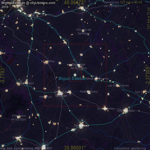
95.42%Clear (daylight) street map image can be seen on geolist.org.
Map coordinates:
40° 3' 53" North, 3° 46' 45.5" West
39° 31' 28.1" North, 3° 4' 34.2" West
38° 58' 48" North, 2° 22' 23" West
Some cities around Miguel Esteban sort by population:
• Alcázar de San Juan
18.8 km =11.7 mi,  217°
217°
• Campo de Criptana
14 km =8.7 mi,  197°
197°
• Quintanar de la Orden
8.2 km =5.1 mi,  21°
21°
• Villacañas
25 km =15.5 mi,  296°
296°
• Pedro Muñoz
17.5 km =10.9 mi,  140°
140°
• Mota del Cuervo
17.9 km =11.1 mi,  98°
98°
• La Puebla de Almoradiel
9 km =5.6 mi,  336°
336°
• Villafranca de los Caballeros
26.7 km =16.6 mi,  246°
246°
2513886 (p: 5,170)
Sources (retrieved 2019-11-25):
» Earth at Night: Flat Maps 2012, 2016