Hellín night lights from space
Night Light of Hellín (Castille-La Mancha) from space (Spain) Src. Average luminocity for 10x10km area is 16.0227% and for 50x50km: 1.2891%.
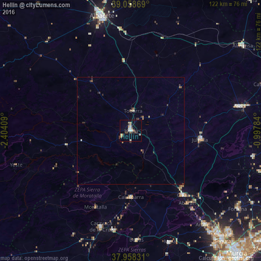
Analysis of Hellín night lights 2016
Square area 10x10 km:
 1.62%
1.62%90-99
2.92%80-89
2.92%70-79
2.27%60-69
0.65%50-59
1.14%40-49
0.97%30-39
3.73%20-29
1.62%10-19
4.55%0-9
77.6%Square area 50x50 km:
0.07%90-99
0.17%80-89
0.17%70-79
0.15%60-69
0.16%50-59
0.11%40-49
0.15%30-39
0.46%20-29
0.32%10-19
0.24%0-9
97.99%Clear (daylight) street map image can be seen on geolist.org.
Map coordinates:
39° 3' 31.3" North, 2° 24' 14.7" West
38° 30' 38.2" North, 1° 42' 3.5" West
37° 57' 29.9" North, 0° 59' 52.2" West
Some cities around Hellín sort by population:
• Cieza
38.8 km =24.1 mi,  140°
140°
• Caravaca
47.2 km =29.3 mi,  197°
197°
• Jumilla
32.9 km =20.4 mi,  96°
96°
• Abarán
42.9 km =26.7 mi, 142°
• Calasparra
31.2 km =19.4 mi,  179°
179°
• Moratalla
39.4 km =24.5 mi, 204°
• Tobarra
9.1 km =5.7 mi,  4°
4°
• Blanca
46.6 km =29 mi, 142°
2516797 (p: 30,976)
Sources (retrieved 2019-11-25):
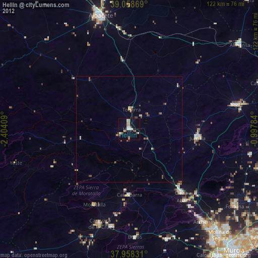
» Earth at Night: Flat Maps 2012, 2016