Fuengirola night lights from space
Night Light of Fuengirola (Andalusia) from space (Spain) Src. Average luminocity for 10x10km area is 46.0806% and for 50x50km: 16.9099%.
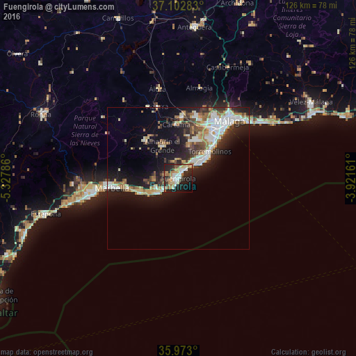
Analysis of Fuengirola night lights 2016
Square area 10x10 km:
 8.42%
8.42%90-99
7.69%80-89
7.33%70-79
4.58%60-69
12.09%50-59
2.56%40-49
2.56%30-39
3.48%20-29
24.54%10-19
20.15%0-9
6.59%Square area 50x50 km:
3.23%90-99
3.32%80-89
1.54%70-79
1.83%60-69
2.78%50-59
1.33%40-49
2.04%30-39
2.32%20-29
5.06%10-19
10.98%0-9
65.56%Clear (daylight) street map image can be seen on geolist.org.
Map coordinates:
37° 6' 10.2" North, 5° 19' 40.3" West
36° 32' 23.9" North, 4° 37' 29" West
35° 58' 22.8" North, 3° 55' 17.8" West
Some cities around Fuengirola sort by population:
• Marbella
23.5 km =14.6 mi,  263°
263°
• Mijas
6.3 km =3.9 mi,  349°
349°
• Torremolinos
14.3 km =8.9 mi,  51°
51°
• Benalmádena
7.8 km =4.8 mi,  36°
36°
• Alhaurín de la Torre
14.9 km =9.3 mi,  22°
22°
• Alhaurín el Grande
12.7 km =7.9 mi,  334°
334°
• Coín
17.7 km =11 mi,  318°
318°
• Cártama
19 km =11.8 mi,  357°
357°
2517595 (p: 71,482)
Sources (retrieved 2019-11-25):
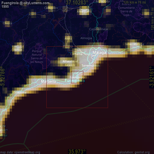
» NASA, Earths city lights 1995
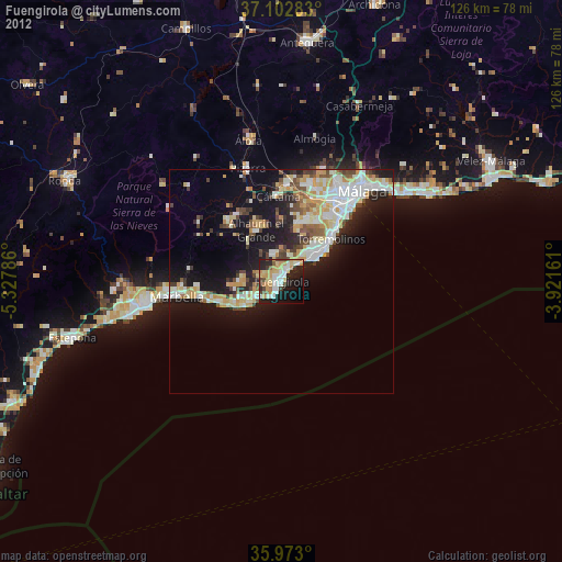
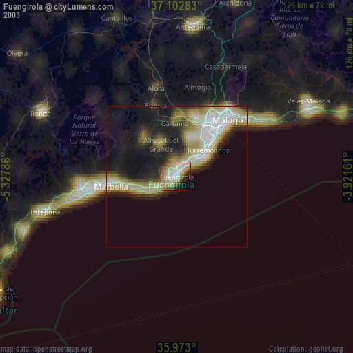
» NASA city lights 2003
» Earth at Night: Flat Maps 2012, 2016