El Carmel night lights from space
Night Light of El Carmel (Catalonia) from space (Spain) Src. Average luminocity for 10x10km area is 91.6139% and for 50x50km: 44.6321%.
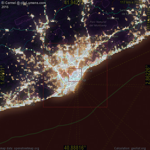
Analysis of El Carmel night lights 2016
Square area 10x10 km:
 52.89%
90-99
23.13%80-89
2.04%70-79
6.46%60-69
11.56%50-59
3.23%40-49
0.68%30-39
0%20-29
0%10-19
0%0-9
0%Square area 50x50 km:
11.83%90-99
10.7%80-89
4.26%70-79
5.32%60-69
7.98%50-59
6.02%40-49
3.76%30-39
4.06%20-29
7.75%10-19
7.38%0-9
30.93%Clear (daylight) street map image can be seen on geolist.org.
Map coordinates:
41° 56' 33.8" North, 1° 27' 21.6" East
41° 25' 3.3" North, 2° 9' 32.9" East
40° 53' 17.4" North, 2° 51' 44.1" East
Some cities around El Carmel sort by population:
• Horta-Guinardó
0.7 km =0.4 mi,  81°
81°
• el Guinardó
1.2 km =0.7 mi, 83°
• el Baix Guinardó
1 km =0.6 mi,  131°
131°
• la Salut
0.7 km =0.4 mi,  214°
214°
• la Teixonera
1.2 km =0.7 mi,  300°
300°
• la Font d'en Fargues
0.9 km =0.6 mi,  33°
33°
• Can Baró
0.3 km =0.2 mi,  108°
108°
• el Coll
1 km =0.6 mi,  267°
267°
6545261 (p: 31,843)
Sources (retrieved 2019-11-25):
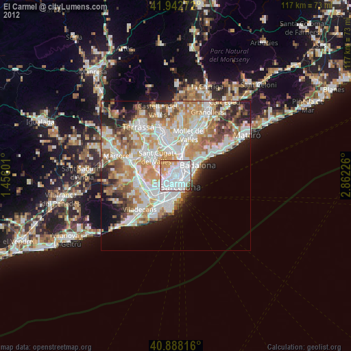
» Earth at Night: Flat Maps 2012, 2016