el Baix Guinardó night lights from space
Night Light of el Baix Guinardó (Catalonia) from space (Spain) Src. Average luminocity for 10x10km area is 91.3946% and for 50x50km: 43.8048%.
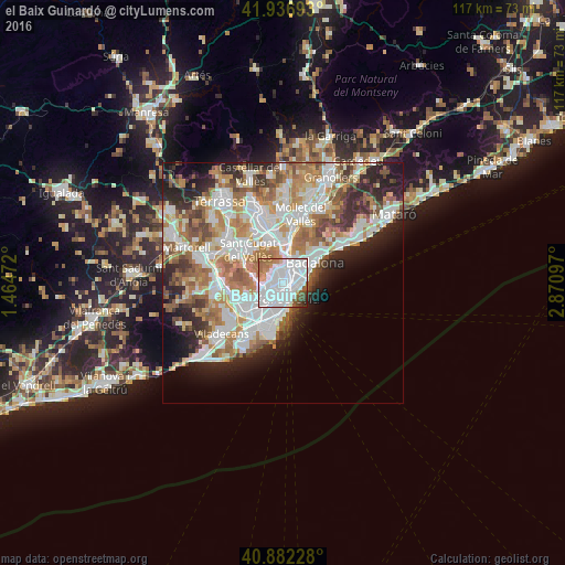
Analysis of el Baix Guinardó night lights 2016
Square area 10x10 km:
 56.29%
90-99
22.62%80-89
1.36%70-79
5.27%60-69
5.78%50-59
4.76%40-49
2.38%30-39
1.19%20-29
0.34%10-19
0%0-9
0%Square area 50x50 km:
11.7%90-99
10.61%80-89
4.17%70-79
5.17%60-69
7.88%50-59
5.78%40-49
3.6%30-39
4%20-29
7.66%10-19
6.91%0-9
32.52%Clear (daylight) street map image can be seen on geolist.org.
Map coordinates:
41° 56' 12.9" North, 1° 27' 53" East
41° 24' 42.3" North, 2° 10' 4.2" East
40° 52' 56.2" North, 2° 52' 15.5" East
Some cities around el Baix Guinardó sort by population:
• Horta-Guinardó
0.7 km =0.4 mi,  359°
359°
• Sagrada Família
1 km =0.6 mi,  151°
151°
• el Camp de l'Arpa del Clot
1.2 km =0.7 mi,  88°
88°
• el Guinardó
0.9 km =0.6 mi,  31°
31°
• el Camp d'en Grassot i Gràcia Nova
0.6 km =0.4 mi,  201°
201°
• El Carmel
1 km =0.6 mi,  311°
311°
• la Salut
1.1 km =0.7 mi,  273°
273°
• Can Baró
0.7 km =0.4 mi,  321°
321°
11549774 (p: 25,766)
Sources (retrieved 2019-11-25):
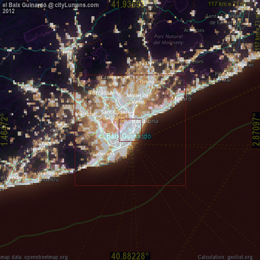
» Earth at Night: Flat Maps 2012, 2016