Ciutadella night lights from space
Night Light of Ciutadella (Balearic Islands) from space (Spain) Src. Average luminocity for 10x10km area is 16.8537% and for 50x50km: 1.3073%.
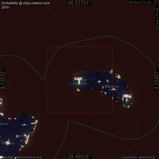
Analysis of Ciutadella night lights 2016
Square area 10x10 km:
 0.85%
0.85%90-99
2.21%80-89
4.76%70-79
1.36%60-69
3.74%50-59
2.04%40-49
0.68%30-39
1.19%20-29
0.85%10-19
7.82%0-9
74.49%Square area 50x50 km:
0.05%90-99
0.12%80-89
0.43%70-79
0.12%60-69
0.25%50-59
0.15%40-49
0.14%30-39
0.1%20-29
0.1%10-19
0.35%0-9
98.19%Clear (daylight) street map image can be seen on geolist.org.
Map coordinates:
40° 32' 15.4" North, 3° 8' 18" East
40° 0' 4" North, 3° 50' 29.2" East
39° 27' 37.4" North, 4° 32' 40.5" East
Some cities around Ciutadella sort by population:
• Maó
38.3 km =23.8 mi,  109°
109°
• Son Servera
59 km =36.7 mi,  224°
224°
• Capdepera
48 km =29.8 mi,  226°
226°
• Alaior
26.7 km =16.6 mi, 107°
• Es Castell
40.6 km =25.2 mi, 109°
• Artà
54.2 km =33.7 mi, 230°
• Cala Rajada
45.6 km =28.3 mi, 225°
• Sant Lluís
39.3 km =24.4 mi,  115°
115°
3124967 (p: 29,160)
Sources (retrieved 2019-11-25):
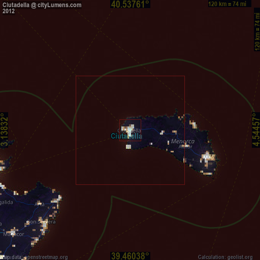
» Earth at Night: Flat Maps 2012, 2016