Cehegín night lights from space
Night Light of Cehegín (Murcia) from space (Spain) Src. Average luminocity for 10x10km area is 10.3701% and for 50x50km: 2.0471%.
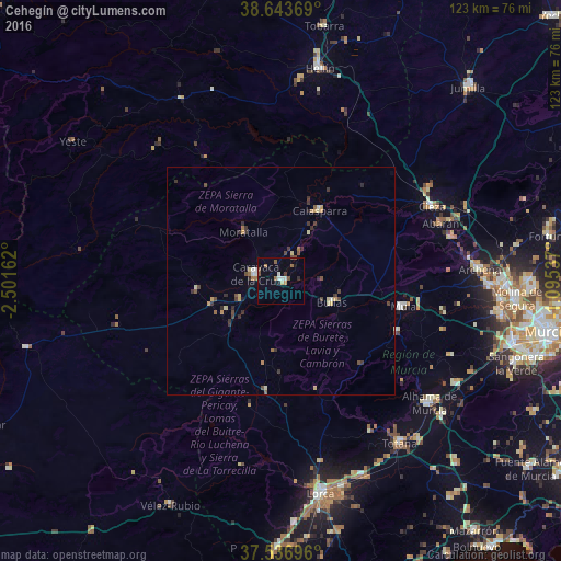
Analysis of Cehegín night lights 2016
Square area 10x10 km:
 1.62%
1.62%90-99
0.97%80-89
0.65%70-79
0.65%60-69
1.14%50-59
1.62%40-49
2.44%30-39
0.65%20-29
0.81%10-19
2.27%0-9
87.18%Square area 50x50 km:
0.15%90-99
0.17%80-89
0.3%70-79
0.24%60-69
0.26%50-59
0.25%40-49
0.48%30-39
0.54%20-29
0.4%10-19
0.15%0-9
97.04%Clear (daylight) street map image can be seen on geolist.org.
Map coordinates:
38° 38' 37.3" North, 2° 30' 5.8" West
38° 5' 32.7" North, 1° 47' 54.6" West
37° 32' 13.1" North, 1° 5' 43.3" West
Some cities around Cehegín sort by population:
• Cieza
36.9 km =22.9 mi,  63°
63°
• Caravaca
5.9 km =3.7 mi,  284°
284°
• Mula
27.6 km =17.1 mi,  101°
101°
• Abarán
37.1 km =23.1 mi,  70°
70°
• Bullas
12.2 km =7.6 mi,  114°
114°
• Calasparra
17.6 km =10.9 mi,  29°
29°
• Moratalla
13.5 km =8.4 mi,  322°
322°
• Blanca
38.3 km =23.8 mi,  75°
75°
2519651 (p: 16,235)
Sources (retrieved 2019-11-25):
» Earth at Night: Flat Maps 2012, 2016