Cercado Abajo night lights from space
Night Light of Cercado Abajo (San Juan) from space (Dominican Republic) Src. Average luminocity for 10x10km area is 5.7335% and for 50x50km: 1.8981%.
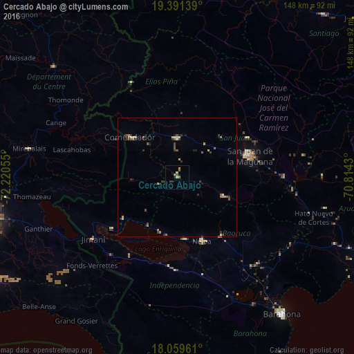
Analysis of Cercado Abajo night lights 2016
Square area 10x10 km:
 0%
0%90-99
0.83%80-89
0.62%70-79
1.45%60-69
0.83%50-59
1.86%40-49
0.21%30-39
1.65%20-29
0.62%10-19
1.03%0-9
90.91%Square area 50x50 km:
0.04%90-99
0.16%80-89
0.32%70-79
0.29%60-69
0.2%50-59
0.49%40-49
0.24%30-39
0.58%20-29
0.35%10-19
0.5%0-9
96.83%Clear (daylight) street map image can be seen on geolist.org.
Map coordinates:
19° 23' 29" North, 72° 13' 14" West
18° 43' 36.5" North, 71° 31' 2.7" West
18° 3' 34.6" North, 70° 48' 51.5" West
Some cities around Cercado Abajo sort by population:
• San Juan de la Maguana
31.5 km =19.6 mi,  73°
73°
• Las Matas de Farfán
16.3 km =10.1 mi,  0°
0°
• Neiba
29.2 km =18.1 mi,  159°
159°
• Comendador
25.7 km =16 mi,  310°
310°
• Villa Jaragua
26.5 km =16.5 mi,  172°
172°
• Galván
31 km =19.3 mi,  143°
143°
• La Descubierta
28.3 km =17.6 mi,  232°
232°
• Vallejuelo
20.9 km =13 mi,  112°
112°
3509882 (p: 5,316)
Sources (retrieved 2019-11-25):
» Earth at Night: Flat Maps 2012, 2016