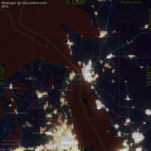
Helsingør night lights from space
Night Light of Helsingør (Capital Region) from space (Denmark) Src. Average luminocity for 10x10km area is 26.1754% and for 50x50km: 12.5539%.
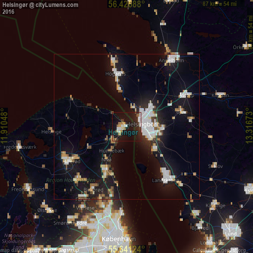
Analysis of Helsingør night lights 2016
Square area 10x10 km:
 3.76%
3.76%90-99
4.26%80-89
1.38%70-79
3.38%60-69
4.39%50-59
1.88%40-49
1%30-39
2.76%20-29
8.77%10-19
42.73%0-9
25.69%Square area 50x50 km:
2.5%90-99
2.49%80-89
1.01%70-79
0.95%60-69
1.27%50-59
1.23%40-49
1.03%30-39
0.92%20-29
2.22%10-19
13.68%0-9
72.7%Clear (daylight) street map image can be seen on geolist.org.
Map coordinates:
56° 25' 36.8" North, 11° 54' 37.7" East
56° 2' 9.8" North, 12° 36' 49" East
55° 38' 28.5" North, 13° 19' 0.2" East
Some cities around Helsingør sort by population:
• Höganäs, SE
18.5 km =11.5 mi,  349°
349°
• Espergærde
6.2 km =3.9 mi,  221°
221°
• Humlebæk
9.6 km =6 mi,  210°
210°
• Fredensborg
14.7 km =9.1 mi,  242°
242°
• Nivå
13.2 km =8.2 mi, 210°
• Rydebäck, SE
12.3 km =7.6 mi,  129°
129°
• Hellebæk
5 km =3.1 mi,  315°
315°
• Ödåkra, SE
11.2 km =7 mi,  47°
47°
2620473 (p: 35,048)
Sources (retrieved 2019-11-25):
» Earth at Night: Flat Maps 2012, 2016