Varel night lights from space
Night Light of Varel (Lower Saxony) from space (Germany) Src. Average luminocity for 10x10km area is 2.2302% and for 50x50km: 2.793%.
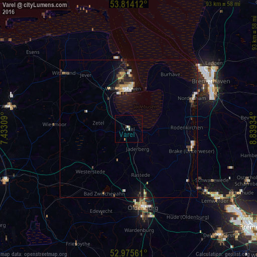
Analysis of Varel night lights 2016
Square area 10x10 km:
 0.26%
0.26%90-99
0.26%80-89
0.53%70-79
0.53%60-69
0%50-59
1.06%40-49
0%30-39
0%20-29
0%10-19
0%0-9
97.35%Square area 50x50 km:
0.3%90-99
0.45%80-89
0.22%70-79
0.41%60-69
0.27%50-59
0.29%40-49
0.52%30-39
0.34%20-29
0.63%10-19
2.4%0-9
94.17%Clear (daylight) street map image can be seen on geolist.org.
Map coordinates:
53° 48' 50.8" North, 7° 25' 59.1" East
53° 23' 48.9" North, 8° 8' 10.4" East
52° 58' 32.2" North, 8° 50' 21.6" East
Some cities around Varel sort by population:
• Wilhelmshaven
14.9 km =9.3 mi,  353°
353°
• Schortens
19.5 km =12.1 mi,  320°
320°
• Rastede
16.9 km =10.5 mi,  165°
165°
• Wiefelstede
16.4 km =10.2 mi,  184°
184°
• Zetel
10.4 km =6.5 mi,  282°
282°
• Sande
14.5 km =9 mi,  326°
326°
• Bockhorn
7.9 km =4.9 mi,  272°
272°
• Ovelgönne
19.9 km =12.4 mi,  107°
107°
2817873 (p: 25,212)
Sources (retrieved 2019-11-25):
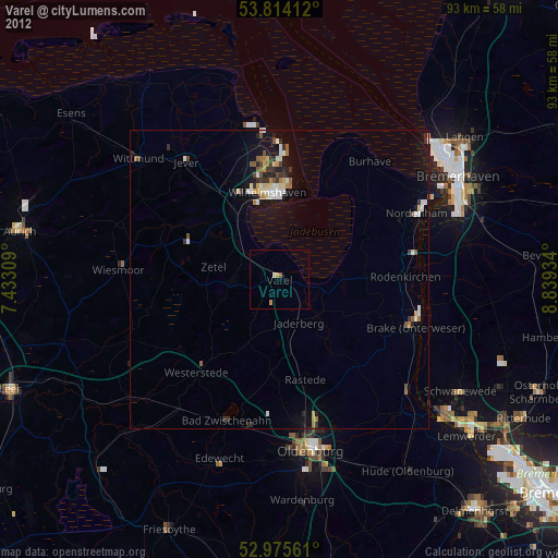
» Earth at Night: Flat Maps 2012, 2016