Schortens night lights from space
Night Light of Schortens (Lower Saxony) from space (Germany) Src. Average luminocity for 10x10km area is 0.4299% and for 50x50km: 1.9811%.
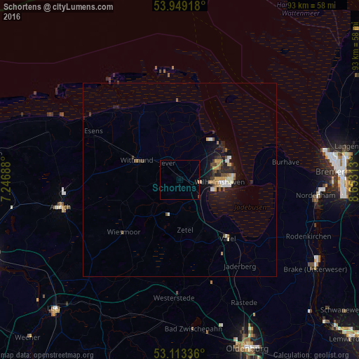
Analysis of Schortens night lights 2016
Square area 10x10 km:
 0%
0%90-99
0%80-89
0%70-79
0.26%60-69
0%50-59
0%40-49
0.26%30-39
0%20-29
0%10-19
0%0-9
99.47%Square area 50x50 km:
0.23%90-99
0.29%80-89
0.18%70-79
0.35%60-69
0.19%50-59
0.22%40-49
0.28%30-39
0.3%20-29
0.53%10-19
1.71%0-9
95.72%Clear (daylight) street map image can be seen on geolist.org.
Map coordinates:
53° 56' 57" North, 7° 14' 48.8" East
53° 31' 60" North, 7° 57' 0" East
53° 6' 48.1" North, 8° 39' 11.3" East
Some cities around Schortens sort by population:
• Wilhelmshaven
10.7 km =6.6 mi,  91°
91°
• Wittmund
12.3 km =7.6 mi,  293°
293°
• Jever
5.6 km =3.5 mi,  322°
322°
• Wiesmoor
19.3 km =12 mi,  227°
227°
• Zetel
13.2 km =8.2 mi,  170°
170°
• Friedeburg
12.1 km =7.5 mi,  219°
219°
• Sande
5.3 km =3.3 mi,  126°
126°
• Bockhorn
15.5 km =9.6 mi,  163°
163°
2836282 (p: 21,357)
Sources (retrieved 2019-11-25):
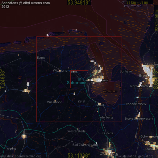
» Earth at Night: Flat Maps 2012, 2016