Schriesheim night lights from space
Night Light of Schriesheim (Baden-Württemberg) from space (Germany) Src. Average luminocity for 10x10km area is 23.0238% and for 50x50km: 22.6298%.
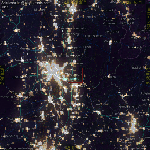
Analysis of Schriesheim night lights 2016
Square area 10x10 km:
 0.84%
0.84%90-99
3.08%80-89
0%70-79
1.12%60-69
2.94%50-59
4.76%40-49
4.9%30-39
5.04%20-29
19.75%10-19
28.85%0-9
28.71%Square area 50x50 km:
4.54%90-99
5.02%80-89
1.91%70-79
1.77%60-69
2.09%50-59
2.35%40-49
2.38%30-39
3.15%20-29
9.24%10-19
17.8%0-9
49.74%Clear (daylight) street map image can be seen on geolist.org.
Map coordinates:
49° 55' 42.5" North, 7° 57' 37.7" East
49° 28' 25.4" North, 8° 39' 49" East
49° 0' 52.9" North, 9° 22' 0.2" East
Some cities around Schriesheim sort by population:
• Heidelberg
7.6 km =4.7 mi,  165°
165°
• Eppelheim
8.2 km =5.1 mi,  193°
193°
• Edingen-Neckarhausen
4.5 km =2.8 mi,  246°
246°
• Dossenheim
2.7 km =1.7 mi,  162°
162°
• Heddesheim
5.6 km =3.5 mi,  309°
309°
• Ladenburg
3.9 km =2.4 mi,  268°
268°
• Hirschberg an der Bergstraße
3.7 km =2.3 mi,  352°
352°
• Ilvesheim
7 km =4.3 mi, 270°
2836089 (p: 14,379)
Sources (retrieved 2019-11-25):
» Earth at Night: Flat Maps 2012, 2016