Porta Westfalica night lights from space
Night Light of Porta Westfalica (North Rhine-Westphalia) from space (Germany) Src. Average luminocity for 10x10km area is 6.3082% and for 50x50km: 4.3542%.
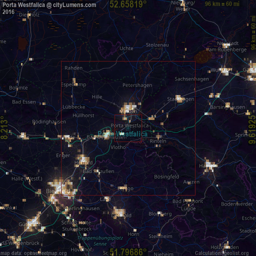
Analysis of Porta Westfalica night lights 2016
Square area 10x10 km:
 0.26%
0.26%90-99
0.79%80-89
1.06%70-79
0.53%60-69
0.79%50-59
0.79%40-49
0%30-39
0.26%20-29
0.53%10-19
4.76%0-9
90.21%Square area 50x50 km:
0.36%90-99
0.58%80-89
0.36%70-79
0.49%60-69
0.66%50-59
0.83%40-49
0.89%30-39
0.57%20-29
0.69%10-19
2.32%0-9
92.25%Clear (daylight) street map image can be seen on geolist.org.
Map coordinates:
52° 39' 29.5" North, 8° 12' 46.8" East
52° 13' 46.6" North, 8° 54' 58" East
51° 47' 48.7" North, 9° 37' 9.3" East
Some cities around Porta Westfalica sort by population:
• Minden
6.7 km =4.2 mi,  359°
359°
• Bad Oeynhausen
8.1 km =5 mi,  251°
251°
• Löhne
15.9 km =9.9 mi, 253°
• Rinteln
12.1 km =7.5 mi,  113°
113°
• Bückeburg
9.7 km =6 mi,  69°
69°
• Vlotho
8.1 km =5 mi,  208°
208°
• Obernkirchen
15.2 km =9.4 mi, 71°
• Obernbeck
14.8 km =9.2 mi,  257°
257°
2852577 (p: 36,364)
Sources (retrieved 2019-11-25):
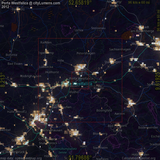
» Earth at Night: Flat Maps 2012, 2016