Ostercappeln night lights from space
Night Light of Ostercappeln (Lower Saxony) from space (Germany) Src. Average luminocity for 10x10km area is 0.2045% and for 50x50km: 3.6619%.
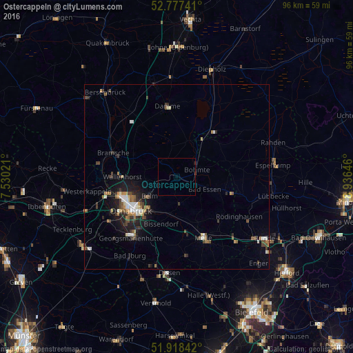
Analysis of Ostercappeln night lights 2016
Square area 10x10 km:
 0%
0%90-99
0%80-89
0%70-79
0%60-69
0%50-59
0%40-49
0.25%30-39
0.25%20-29
0%10-19
0%0-9
99.49%Square area 50x50 km:
0.42%90-99
0.56%80-89
0.32%70-79
0.29%60-69
0.59%50-59
0.46%40-49
0.68%30-39
0.75%20-29
0.92%10-19
2.49%0-9
92.52%Clear (daylight) street map image can be seen on geolist.org.
Map coordinates:
52° 46' 38.7" North, 7° 31' 48.8" East
52° 21' 0" North, 8° 13' 60" East
51° 55' 6.3" North, 8° 56' 11.3" East
Some cities around Ostercappeln sort by population:
• Osnabrück
15.2 km =9.4 mi,  235°
235°
• Melle
17.9 km =11.1 mi,  156°
156°
• Wallenhorst
14.7 km =9.1 mi,  270°
270°
• Bad Essen
7.7 km =4.8 mi,  118°
118°
• Bissendorf
13.7 km =8.5 mi,  199°
199°
• Belm
8.8 km =5.5 mi,  230°
230°
• Preußisch Oldendorf
18.3 km =11.4 mi,  105°
105°
• Bohmte
6 km =3.7 mi,  71°
71°
2856629 (p: 9,605)
Sources (retrieved 2019-11-25):
» Earth at Night: Flat Maps 2012, 2016