Lenzkirch night lights from space
Night Light of Lenzkirch (Baden-Württemberg) from space (Germany) Src. Average luminocity for 10x10km area is 1.0639% and for 50x50km: 2.8858%.
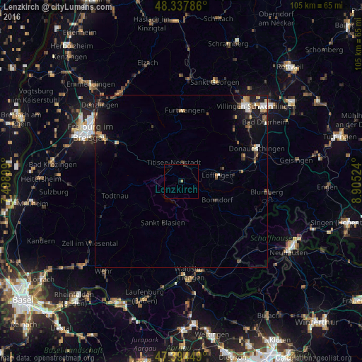
Analysis of Lenzkirch night lights 2016
Square area 10x10 km:
 0%
0%90-99
0%80-89
0%70-79
0.28%60-69
0.28%50-59
0%40-49
0%30-39
0.57%20-29
0.71%10-19
0.99%0-9
97.16%Square area 50x50 km:
0.24%90-99
0.42%80-89
0.21%70-79
0.42%60-69
0.39%50-59
0.38%40-49
0.43%30-39
0.39%20-29
0.79%10-19
2.79%0-9
93.54%Clear (daylight) street map image can be seen on geolist.org.
Map coordinates:
48° 20' 16.3" North, 7° 29' 56.4" East
47° 52' 6" North, 8° 12' 7.6" East
47° 23' 40.2" North, 8° 54' 18.9" East
Some cities around Lenzkirch sort by population:
• Titisee-Neustadt
5.9 km =3.7 mi,  351°
351°
• Furtwangen
20.4 km =12.7 mi,  1°
1°
• Löffingen
10.7 km =6.6 mi,  80°
80°
• Staufen
12.4 km =7.7 mi,  177°
177°
• Bonndorf
11.8 km =7.3 mi,  117°
117°
• Bräunlingen
19.6 km =12.2 mi,  69°
69°
• Ühlingen-Birkendorf
18.9 km =11.7 mi,  153°
153°
• Todtnau
19.8 km =12.3 mi,  257°
257°
2878702 (p: 5,111)
Sources (retrieved 2019-11-25):
» Earth at Night: Flat Maps 2012, 2016