Leer night lights from space
Night Light of Leer (Lower Saxony) from space (Germany) Src. Average luminocity for 10x10km area is 5.7273% and for 50x50km: 1.9681%.
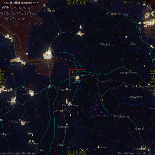
Analysis of Leer night lights 2016
Square area 10x10 km:
 0.76%
0.76%90-99
0.25%80-89
0.63%70-79
1.77%60-69
0.63%50-59
1.39%40-49
1.14%30-39
0.38%20-29
0.13%10-19
0.13%0-9
92.8%Square area 50x50 km:
0.42%90-99
0.33%80-89
0.17%70-79
0.22%60-69
0.15%50-59
0.21%40-49
0.18%30-39
0.13%20-29
0.19%10-19
1.69%0-9
96.31%Clear (daylight) street map image can be seen on geolist.org.
Map coordinates:
53° 39' 1.4" North, 6° 45' 28.3" East
53° 13' 53.7" North, 7° 27' 39.6" East
52° 48' 31" North, 8° 9' 50.8" East
Some cities around Leer sort by population:
• Emden
22.6 km =14 mi,  311°
311°
• Papenburg
17.6 km =10.9 mi,  192°
192°
• Weener
10.6 km =6.6 mi,  224°
224°
• Mittegroßefehn
19.1 km =11.9 mi,  21°
21°
• Barßel
20.4 km =12.7 mi,  109°
109°
• Apen
22.6 km =14 mi,  94°
94°
• Ostrhauderfehn
15.1 km =9.4 mi,  136°
136°
• Bunde
14 km =8.7 mi,  247°
247°
2879697 (p: 33,886)
Sources (retrieved 2019-11-25):
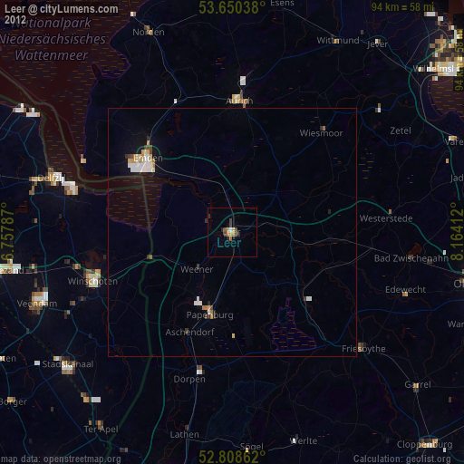
» Earth at Night: Flat Maps 2012, 2016