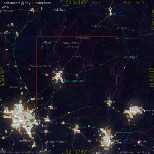
Lachendorf night lights from space
Night Light of Lachendorf (Lower Saxony) from space (Germany) Src. Average luminocity for 10x10km area is 0.3148% and for 50x50km: 2.1323%.
Analysis of Lachendorf night lights 2016
Square area 10x10 km:
 0%
0%90-99
0%80-89
0%70-79
0%60-69
0%50-59
0%40-49
0.53%30-39
0%20-29
0%10-19
0.4%0-9
99.07%Square area 50x50 km:
0.32%90-99
0.29%80-89
0.22%70-79
0.14%60-69
0.3%50-59
0.3%40-49
0.26%30-39
0.24%20-29
0.25%10-19
1.77%0-9
95.9%Clear (daylight) street map image can be seen on geolist.org.
Map coordinates:
53° 2' 29.4" North, 9° 32' 48.8" East
52° 37' 0" North, 10° 15' 0" East
52° 11' 15.7" North, 10° 57' 11.3" East
Some cities around Lachendorf sort by population:
• Celle
11.5 km =7.1 mi,  273°
273°
• Winsen
23.9 km =14.9 mi,  288°
288°
• Hambühren
18.1 km =11.2 mi,  275°
275°
• Meinersen
17.3 km =10.7 mi,  156°
156°
• Uetze
17.1 km =10.6 mi,  190°
190°
• Wathlingen
11.1 km =6.9 mi,  217°
217°
• Hänigsen
18.2 km =11.3 mi, 216°
• Müden
12.4 km =7.7 mi,  143°
143°
2882028 (p: 5,805)
Sources (retrieved 2019-11-25):
» Earth at Night: Flat Maps 2012, 2016